DE
FR
IT
EN
Directory
Weather
Map / Route
Timetable
Leisure
TV guide
Cinema
Snow
Web search
Apps
More
Personal Data »
Login:
Register
Password forgotten
or
Log in with local.ch
Log in with Apple
Log in with Facebook
Log in with Google
Log in with LinkedIn
Please note that our new
privacy statement
as well as the revised
terms and conditions of use
apply.
Leisure
Biking in Thun
Berner Oberland-Route
Regional route No. 61, Thun – Meiringen
Description
Regional route
No. 61 (Thun – Meiringen)
Length
99 km
Ascent • Descent
↑ 2800 m • ↓ 2800 m
Lowest point • Highest point
555 m • 1963 m
Fitness level
difficult
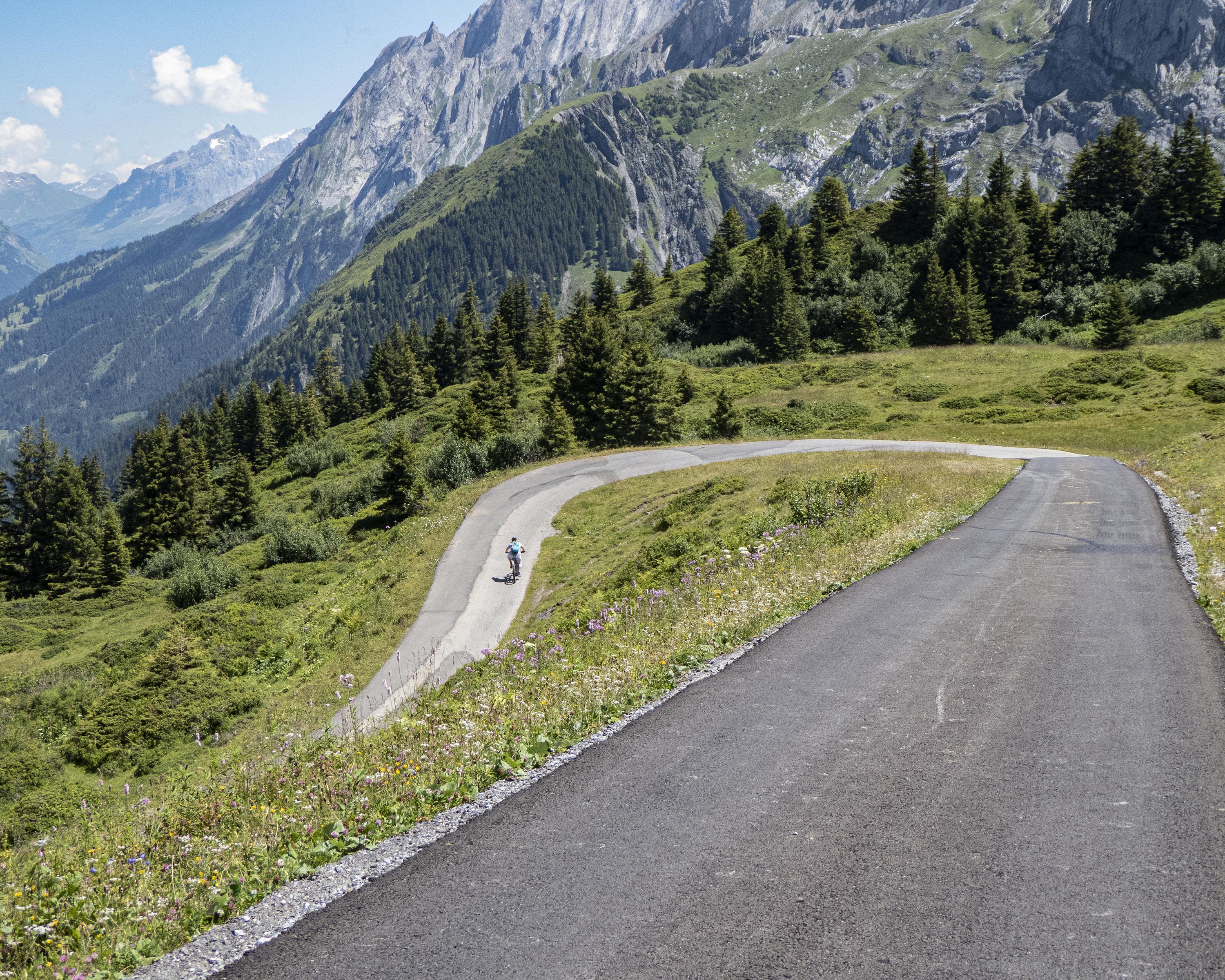
Regional route No. 61: Berner Oberland-Route
Stages
0. Thun – Interlaken
0. Interlaken – Meiringen
A sporty high-level pedal from Thun to Interlaken with breathtaking views of the mountain world, up to the glacier village of Grindelwald and on over Grosse Scheidegg, always in close contact with majestic world-famous peaks.
Comments on this information?
We welcome your feedback!
Presented by
Route
Height profile
Weather:
More...
Comments about this activity or place?
Incorrect information
Missing information
Another topic
Thank you for your feedback!
Close