search.ch

Nationalpark-Panoramaweg

Regional route No. 45, Val Müstair, Süsom Givè–Il Fuorn
  • Image 1

Description

Regional route
No. 45 (Val Müstair, Süsom Givè–Il Fuorn)
Length
15 km
Ascent • Descent
↑ 740 m • ↓ 1100 m
Lowest point • Highest point
1783 m • 2577 m
Hiking time
5 h
Grade
medium (mountain hiking trail)
Fitness level
difficult
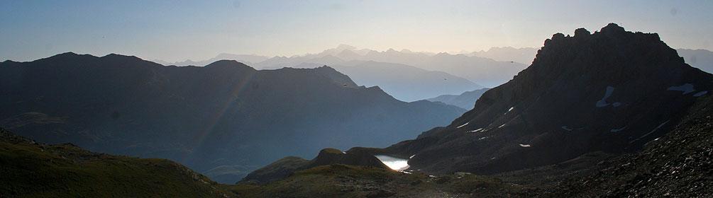
This tour begins and ends at the Ofen Pass road, enters the National Park and leads to the peak area of Munt la Schera, which has been flattened by the glacier. The views range far across the reservoir, Livigno valley and the Bernina group. Alpine pastures, forests of stone pine and scree gullies are a frequent sight on this tour.

Height profile

Weather:

Comments about this activity or place?

Thank you for your feedback!