DE
FR
IT
EN
Directory
Weather
Map / Route
Timetable
Leisure
TV guide
Cinema
Web search
Apps
More
Personal Data »
Login:
Register
Password forgotten
or
Log in with local.ch
Log in with Apple
Log in with Facebook
Log in with Google
Log in with LinkedIn
Please note that our new
privacy statement
as well as the revised
terms and conditions of use
apply.
Leisure
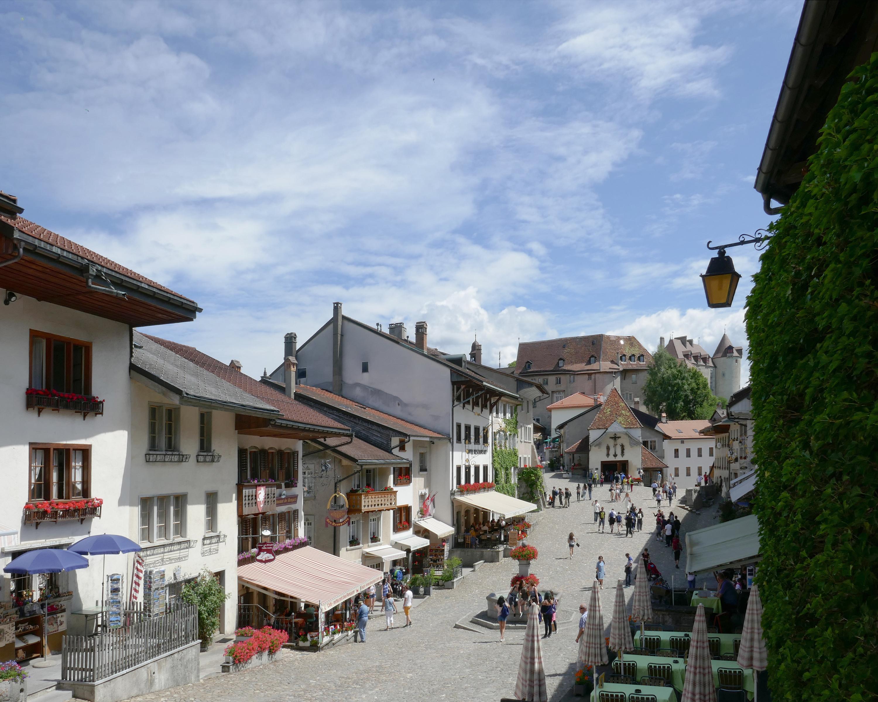
Hike in Gruyère Pays-d'Enhaut Regional Nature Park
Fribourg en diagonale
Regional route No. 81, Gruyères–Bulle
Description
Regional route
No. 81 (Gruyères–Bulle)
Length
10 km
Ascent • Descent
↑ 240 m • ↓ 220 m
Lowest point • Highest point
681 m • 808 m
Hiking time
2 h 35 min
Grade
easy (hiking trail)
Fitness level
easy
Crossing through the medieval town of Gruyères with its cobbled streets and ring of old buildings, lying at the foot of the Moléson, Dents de Broc, du Chamois and du Bourgo. Bridges of timber and stone over the wild waters of the Saane.
Comments on this information?
We welcome your feedback!
Presented by
Route
Height profile
Weather:
More...
Comments about this activity or place?
Incorrect information
Missing information
Another topic
Thank you for your feedback!
Close