DE
FR
IT
EN
Directory
Weather
Map / Route
Timetable
Leisure
TV guide
Cinema
Web search
Apps
More
Personal Data »
Login:
Register
Password forgotten
or
Log in with local.ch
Log in with Apple
Log in with Facebook
Log in with Google
Log in with LinkedIn
Please note that our new
privacy statement
as well as the revised
terms and conditions of use
apply.
Leisure
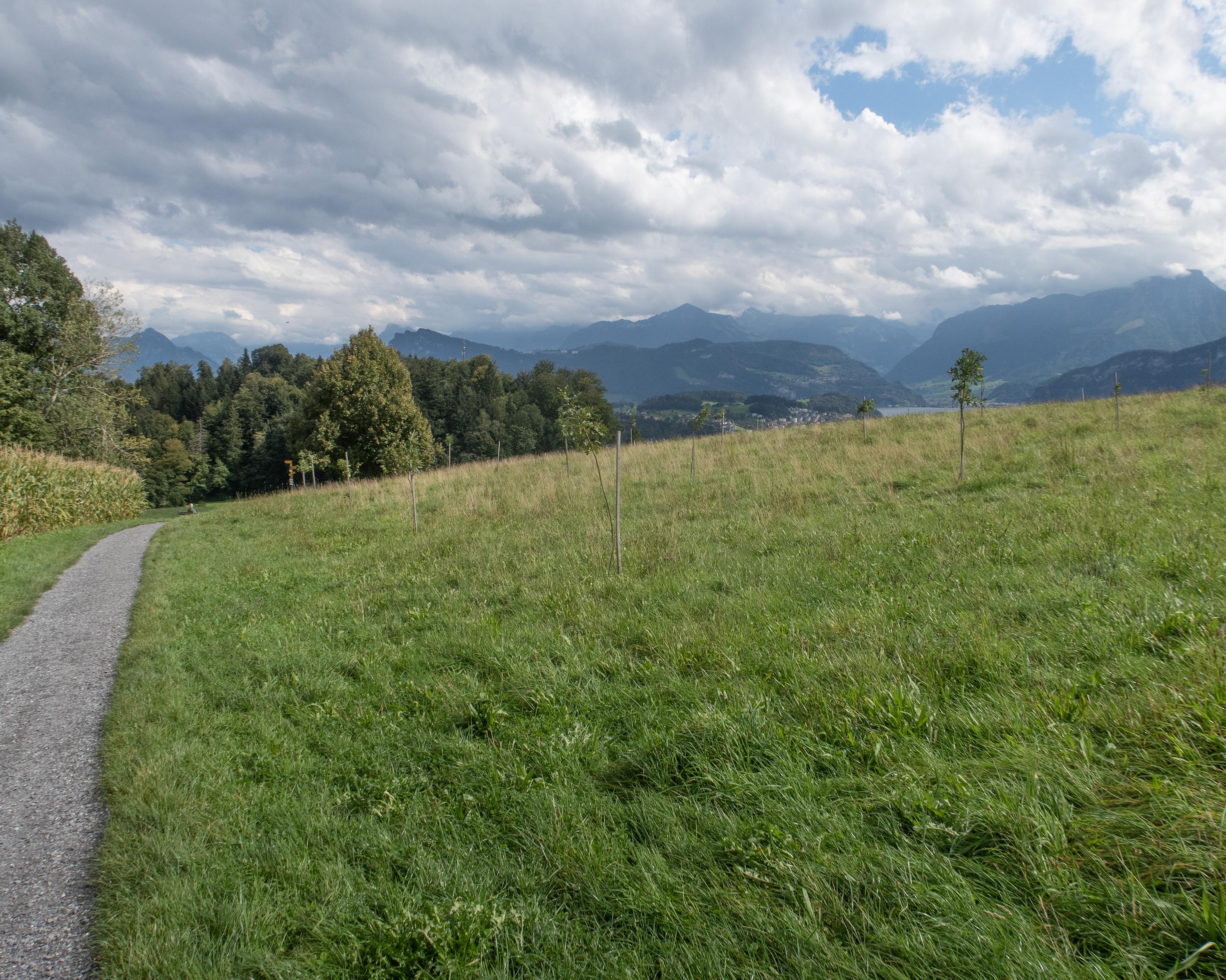
Hike in Lake Lucerne
Alpine Panorama Trail
National route No. 3, Luzern–Malters
Description
National route
No. 3 (Luzern–Malters)
Length
13 km
Ascent • Descent
↑ 500 m • ↓ 440 m
Lowest point • Highest point
434 m • 799 m
Hiking time
3 h 45 min
Grade
easy (hiking trail)
Fitness level
medium
Lucerne and its surrounding communities can be viewed perfectly from the Sonnenberg. The Ränggschlucht gorge offers an insight into the regional geology. On the last section to Malters, you follow in the footsteps of St. James.
Comments on this information?
We welcome your feedback!
Presented by
Route
Height profile
Weather:
More...
Comments about this activity or place?
Incorrect information
Missing information
Another topic
Thank you for your feedback!
Close