DE
FR
IT
EN
Directory
Weather
Map / Route
Timetable
Leisure
TV guide
Cinema
Web search
Apps
More
Personal Data »
Login:
Register
Password forgotten
or
Log in with local.ch
Log in with Apple
Log in with Facebook
Log in with Google
Log in with LinkedIn
Please note that our new
privacy statement
as well as the revised
terms and conditions of use
apply.
Leisure
Hike in Canton of Jura
ViaJura
Regional route No. 80, Delémont–Moutier
Description
Regional route
No. 80 (Delémont–Moutier)
Length
26 km
Ascent • Descent
↑ 1100 m • ↓ 1000 m
Lowest point • Highest point
404 m • 1288 m
Hiking time
7 h 50 min
Grade
easy (hiking trail)
Fitness level
difficult
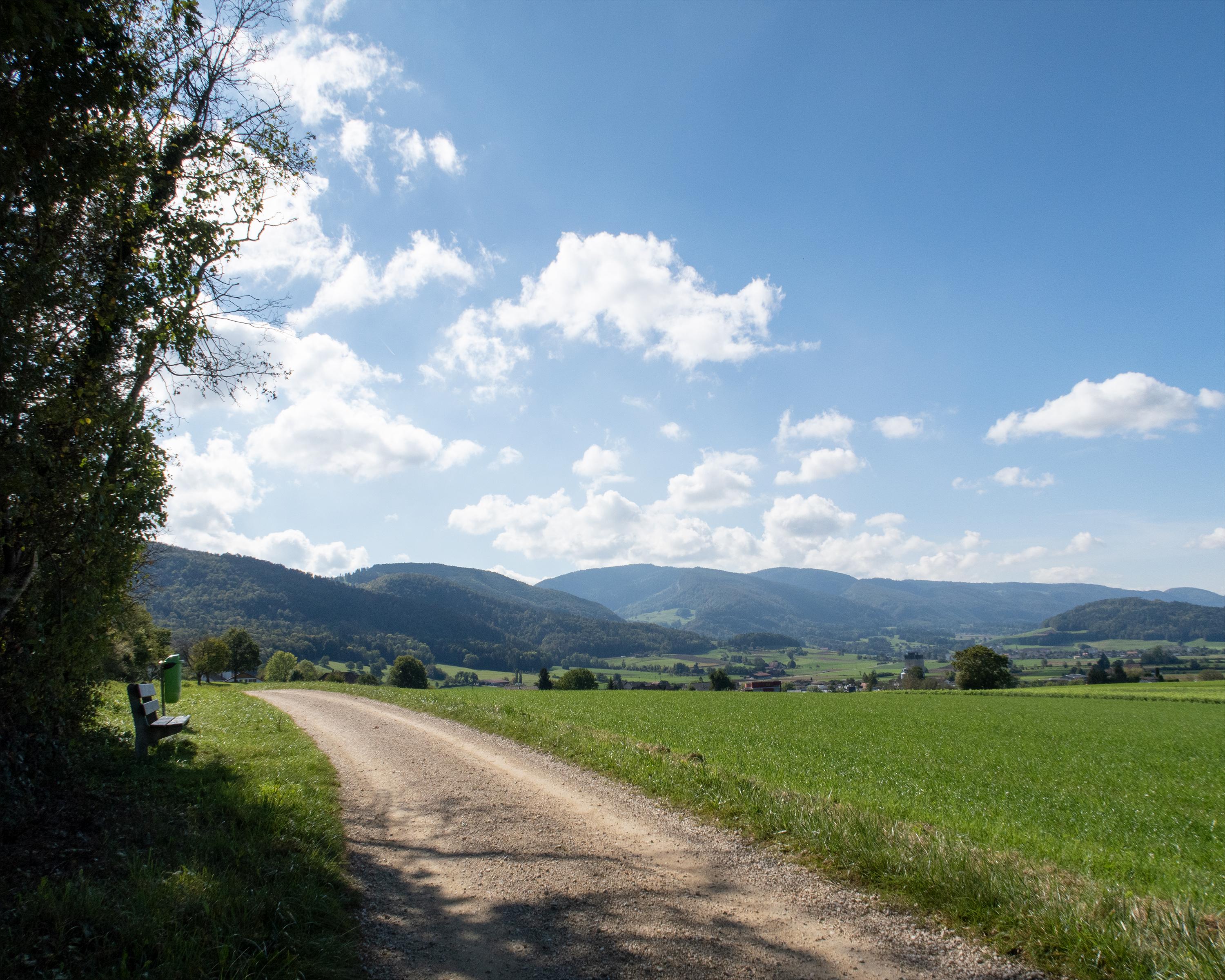
Wild, rocky forests, the rich vegetation of nature reserves and a fantastic panorama enrich the hike through the hilly Jura landscape. Rocky Mont Raimeux is climbed, and a path cut deep into the terrain leads steeply downhill to Moutier.
Comments on this information?
We welcome your feedback!
Presented by
Route
Height profile
Weather:
More...
Comments about this activity or place?
Incorrect information
Missing information
Another topic
Thank you for your feedback!
Close