search.ch

Rhine Route

National route No. 2, Disentis–Chur
  • Image 1

Description

National route
No. 2 (Disentis–Chur)
Length
65 km
Ascent • Descent
↑ 800 m • ↓ 1350 m
Lowest point • Highest point
561 m • 1134 m
Fitness level
difficult
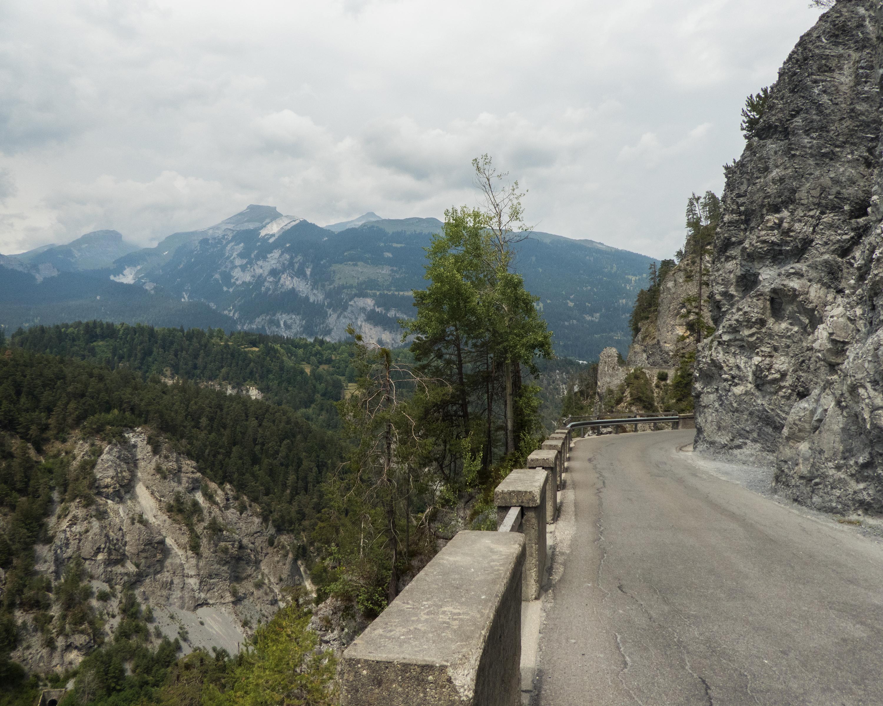
The Surselva is the largest Romansch-speaking area in the Grisons region. Up and down we go, following the burbling Rhine through pretty little hamlets. The amazing wild gorge of the Anterior Rhine is known as the Grand Canyon of Switzerland. The day ends in Chur, the oldest Swiss town north of the Alps.

Height profile

Weather:

Comments about this activity or place?

Thank you for your feedback!