search.ch

Chemin du Jura

Regional route No. 31, Delémont–Lucelle
  • Image 1

Description

Regional route
No. 31 (Delémont–Lucelle)
Length
18 km
Ascent • Descent
↑ 900 m • ↓ 660 m
Lowest point • Highest point
412 m • 967 m
Hiking time
5 h 40 min
Grade
easy (hiking trail)
Fitness level
difficult
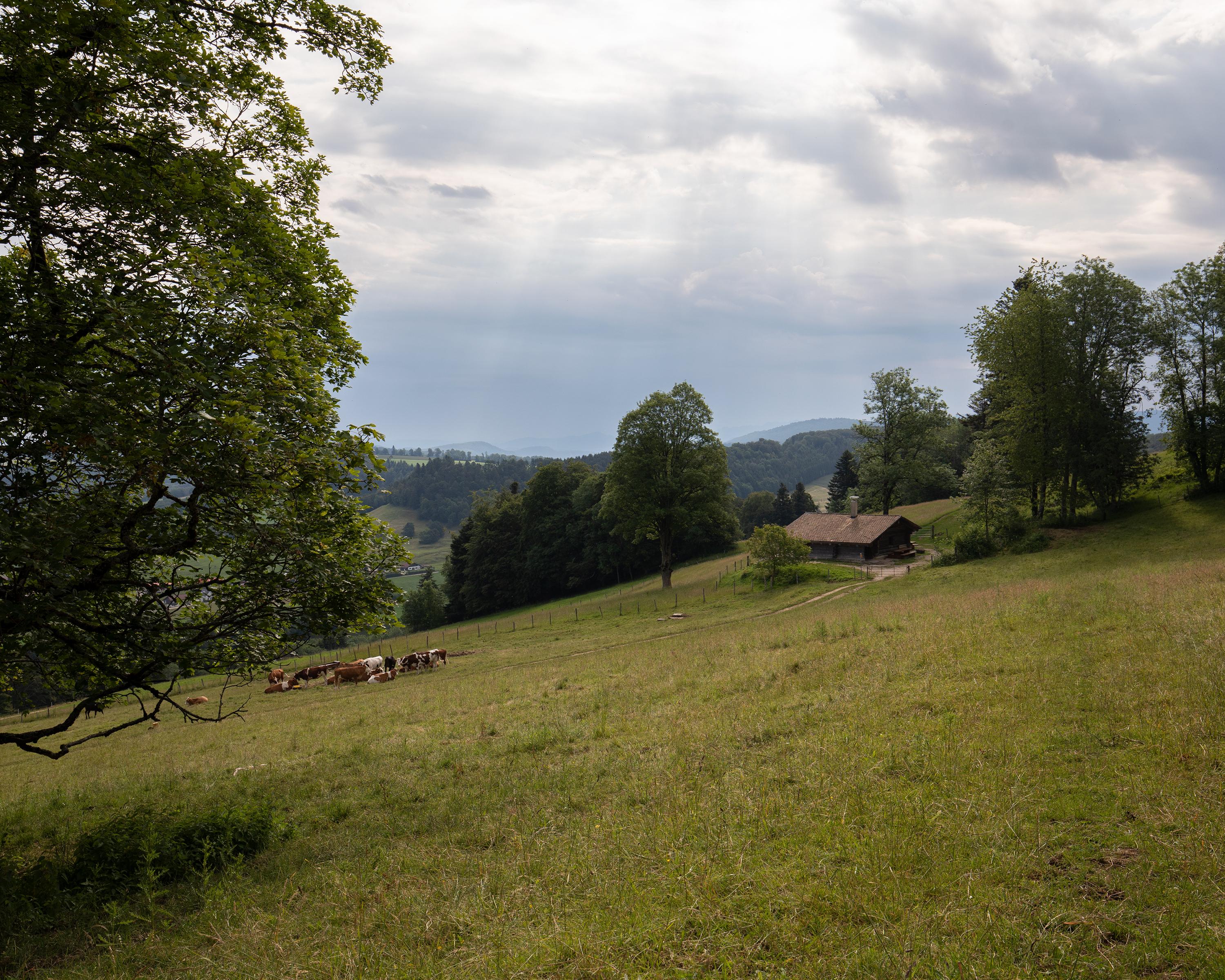
The scenic path through the hilly, wooded Jura landscape runs mainly along a ridge and ends at the Etang de Lucelle on the French border. At Les Ordons, the views over the Jura chain, the Alps, the Black Forest, the upper Rhine valley, the Vosges and part of Franche-Comté are magnificent.

Height profile

Weather:

Comments about this activity or place?

Thank you for your feedback!