DE
FR
IT
EN
Directory
Weather
Map / Route
Timetable
Leisure
TV guide
Cinema
Web search
Apps
More
Personal Data »
Login:
Register
Password forgotten
or
Log in with local.ch
Log in with Apple
Log in with Facebook
Log in with Google
Log in with LinkedIn
Please note that our new
privacy statement
as well as the revised
terms and conditions of use
apply.
Leisure
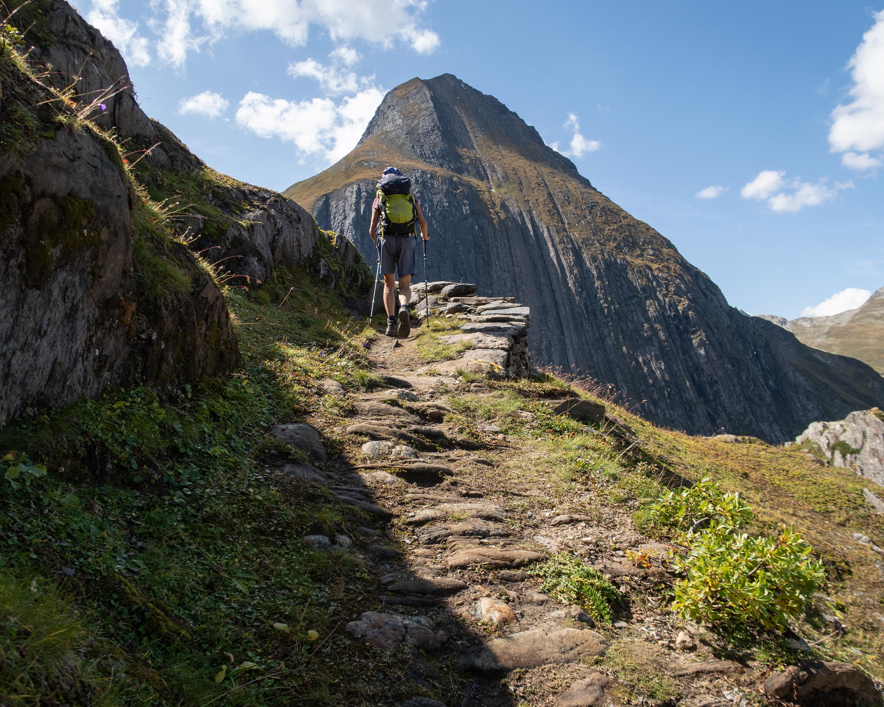
Hike in Obergoms
ViaSbrinz
Regional route No. 40, Obergesteln–Ponte (I)
Description
Regional route
No. 40 (Obergesteln–Ponte (I))
Length
27 km
Ascent • Descent
↑ 1400 m • ↓ 1450 m
Lowest point • Highest point
1294 m • 2503 m
Hiking time
9 h
Grade
medium (mountain hiking trail)
Fitness level
difficult
A demanding hike from Goms over the 2479-metre Griespass to Italy’s Val Formazza. A stage with varying Alpine landscapes, characterized by the history of the migrant Walser people and their relationship with their former homeland.
Comments on this information?
We welcome your feedback!
Presented by
Route
Height profile
Weather:
More...
Comments about this activity or place?
Incorrect information
Missing information
Another topic
Thank you for your feedback!
Close