DE
FR
IT
EN
Directory
Weather
Map / Route
Timetable
Leisure
TV guide
Cinema
Web search
Apps
More
Personal Data »
Login:
Register
Password forgotten
or
Log in with local.ch
Log in with Apple
Log in with Facebook
Log in with Google
Log in with LinkedIn
Please note that our new
privacy statement
as well as the revised
terms and conditions of use
apply.
Leisure
Hike in Canton of Vaud
ViaFrancigena
Regional route No. 70, Orbe–Cossonay
Description
Regional route
No. 70 (Orbe–Cossonay)
Length
26 km
Ascent • Descent
↑ 640 m • ↓ 560 m
Lowest point • Highest point
436 m • 729 m
Hiking time
6 h 45 min
Grade
easy (hiking trail)
Fitness level
difficult
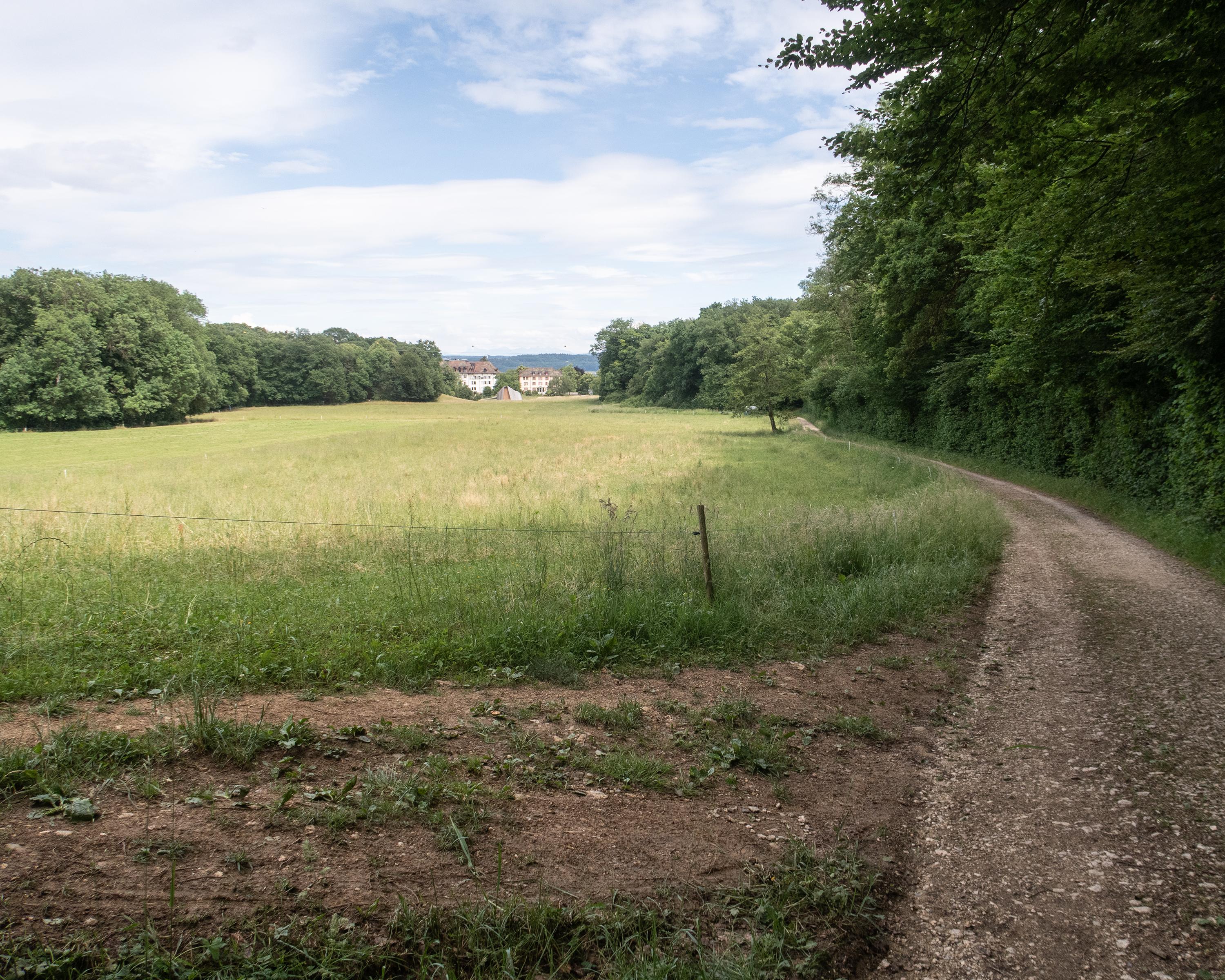
After Orbe, the Via Francigena reaches the medieval town of Romainmôtier with its Cluniac abbey. Finally, you arrive at the centre of the world, where part of the Nozon River flows into the Mediterranean Sea and the other part into the North Sea.
Comments on this information?
We welcome your feedback!
Presented by
Route
Height profile
Weather:
More...
Comments about this activity or place?
Incorrect information
Missing information
Another topic
Thank you for your feedback!
Close