search.ch

Seeland-Solothurn-Weg

Regional route No. 76, Biel–Büren a. A.
  • Image 1

Description

Regional route
No. 76 (Biel–Büren a. A.)
Length
14 km
Ascent • Descent
↑ 80 m • ↓ 70 m
Lowest point • Highest point
427 m • 443 m
Hiking time
3 h 15 min
Grade
easy (hiking trail)
Fitness level
medium
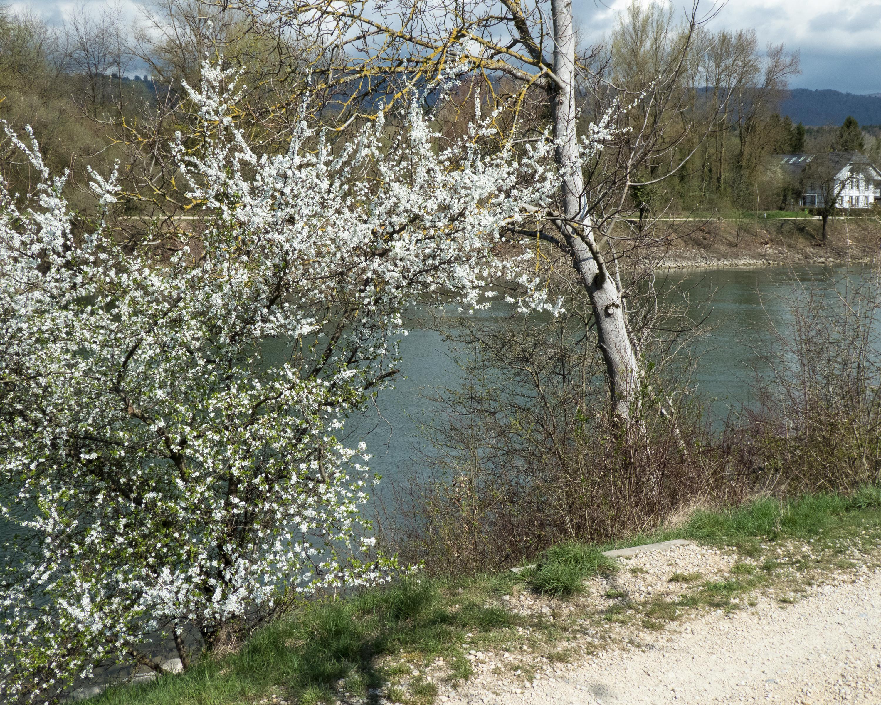
From bilingual Biel/Bienne to the massive wooden bridge at Büren an der Aare. The hike leads primarily on straight paths along the Nidau-Büren canal to the historic little town. Outside the community lies the Häftli nature reserve, enclosed by the Alte Aare.

Height profile

Weather:

Comments about this activity or place?

Thank you for your feedback!