search.ch

Jakobsweg Graubünden

Regional route No. 43, Guarda–Zernez
  • Image 1

Description

Regional route
No. 43 (Guarda–Zernez)
Length
16 km
Ascent • Descent
↑ 480 m • ↓ 660 m
Lowest point • Highest point
1385 m • 1654 m
Hiking time
4 h 25 min
Grade
medium (mountain hiking trail)
Fitness level
medium
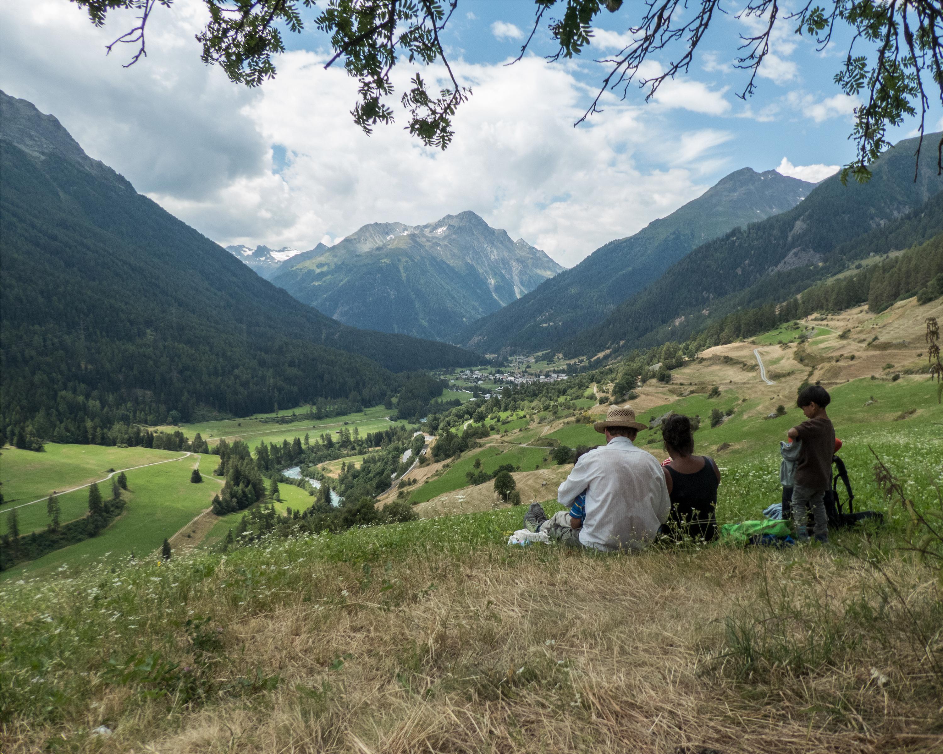
The hike leads from the car-free Schellen-Ursli village of Guarda to the gateway to the Swiss National Park at Zernez. The trail runs south along the Inn River across the valley floor and over wooded slopes. Ornate churches, beautiful wooden bridges, mossy rocks, and icy caves tell of the history of the Lower Engadine.

Height profile

Weather:

Comments about this activity or place?

Thank you for your feedback!