DE
FR
IT
EN
Directory
Weather
Map / Route
Timetable
Leisure
TV guide
Cinema
Web search
Apps
More
Personal Data »
Login:
Register
Password forgotten
or
Log in with local.ch
Log in with Apple
Log in with Facebook
Log in with Google
Log in with LinkedIn
Please note that our new
privacy statement
as well as the revised
terms and conditions of use
apply.
Leisure
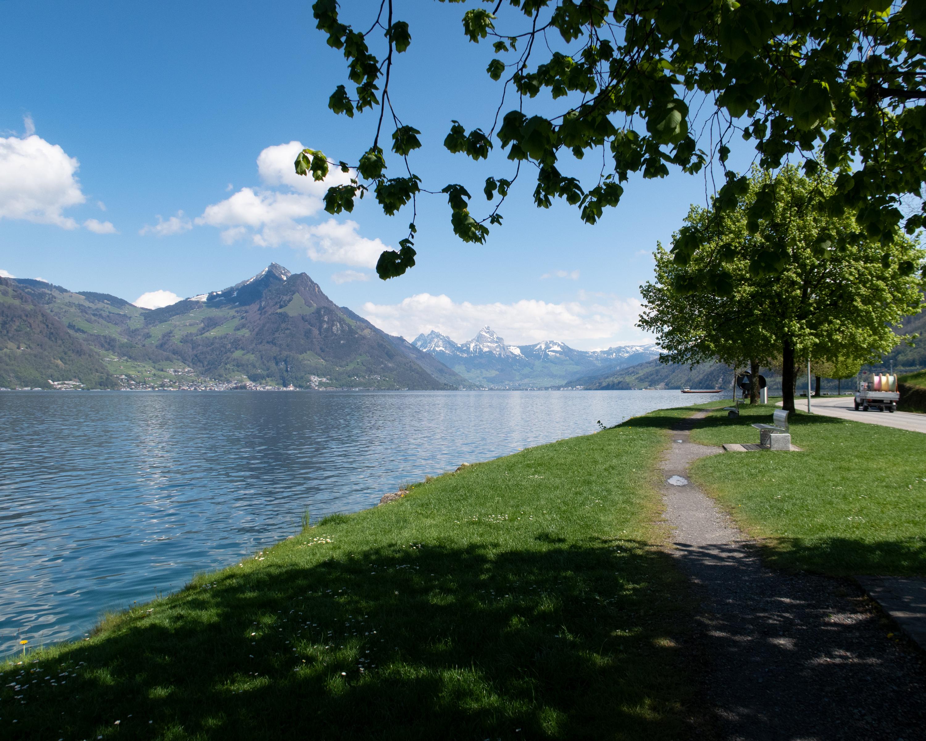
Hike in Lake Lucerne Region
Trans Swiss Trail
National route No. 2, Stans–Seelisberg
Description
National route
No. 2 (Stans–Seelisberg)
Length
21 km
Ascent • Descent
↑ 820 m • ↓ 480 m
Lowest point • Highest point
435 m • 803 m
Hiking time
6 h
Grade
easy (hiking trail)
Fitness level
difficult
A lakeside promenade along the Vierwaldstättersee from Beckenried into the impressive Risleten Gorge, with its ancient dinosaur traces. After a steep climb, the romantic high-level trail towards Seelisberg. Far below, the shimmering turquoise lake.
Comments on this information?
We welcome your feedback!
Presented by
Route
Height profile
Weather:
More...
Comments about this activity or place?
Incorrect information
Missing information
Another topic
Thank you for your feedback!
Close