search.ch

Lugano Bike

Regional route No. 66, Lugano (Monte Brè)–Pairolo
  • Image 1

Description

Regional route
No. 66 (Lugano (Monte Brè)–Pairolo)
Length
23 km
Ascent • Descent
↑ 1350 m • ↓ 900 m
Lowest point • Highest point
611 m • 1403 m
Grade
medium
Fitness level
difficult
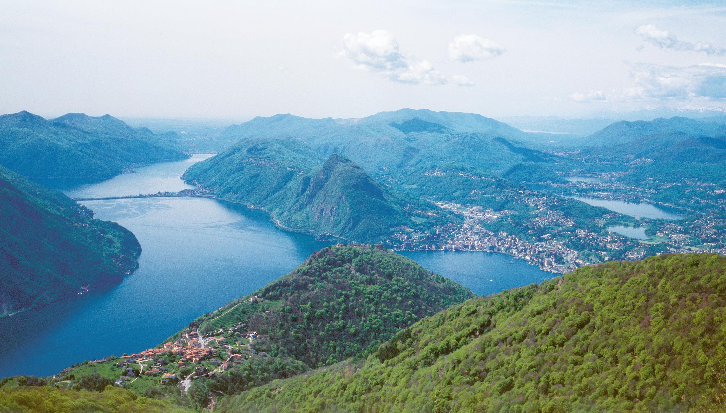
Amid nature but close to town: wooded single trails lead from Monte Brè to Sonvico with a view of Lugano and the lake. Then the route truly begins, covering a distance in altitude of about 800 metres on an unpaved road to the Capanna Pairolo. Your reward: a magnificent view of Lugano’s back country.

Height profile

Weather:

Comments about this activity or place?

Thank you for your feedback!