search.ch

Chemin du Jura bernois

Regional route No. 91, Sornetan–Tramelan
  • Image 1

Description

Regional route
No. 91 (Sornetan–Tramelan)
Length
15 km
Ascent • Descent
↑ 500 m • ↓ 480 m
Lowest point • Highest point
852 m • 1184 m
Hiking time
4 h
Grade
easy (hiking trail)
Fitness level
medium
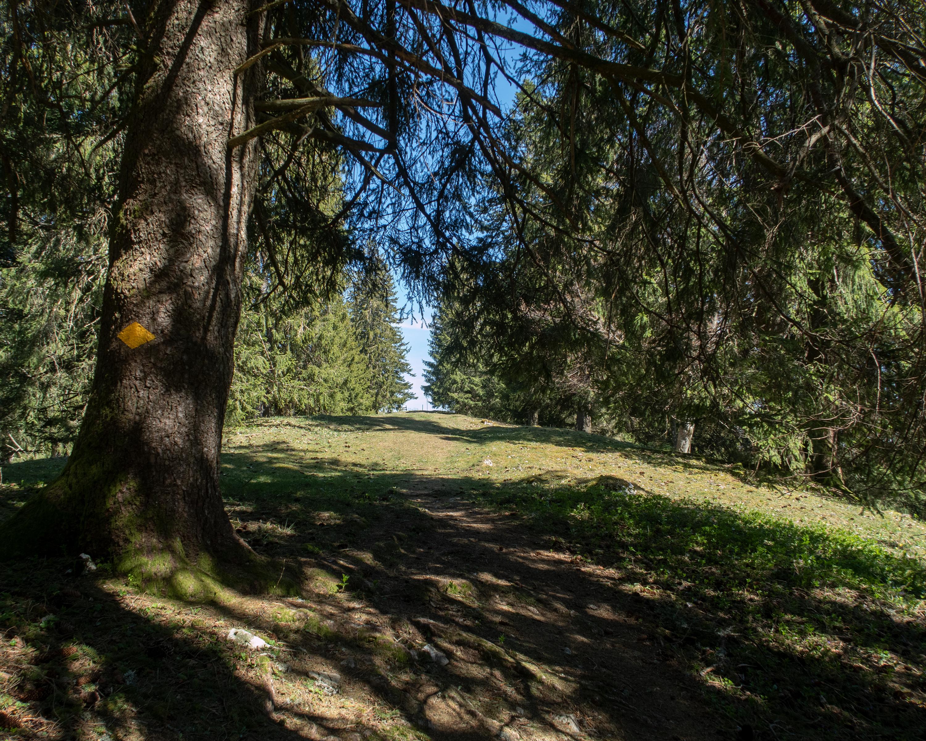
The enjoyable hike over the hills of the Jura leads through wetlands, past attractive ancient trees and across wide pastures with a view of the Chasseral. On the way you see drystone walls, stud horses, tree-lined roads and baroque churches, and you pass the place where Tête de Moine cheese was invented.

Height profile

Weather:

Comments about this activity or place?

Thank you for your feedback!