search.ch

ViaBerna

Regional route No. 38, Engstlenalp–Gadmen
  • Image 1

Description

Regional route
No. 38 (Engstlenalp–Gadmen)
Length
12 km
Ascent • Descent
↑ 600 m • ↓ 1250 m
Lowest point • Highest point
1198 m • 2117 m
Hiking time
4 h 20 min
Grade
medium (mountain hiking trail)
Fitness level
difficult
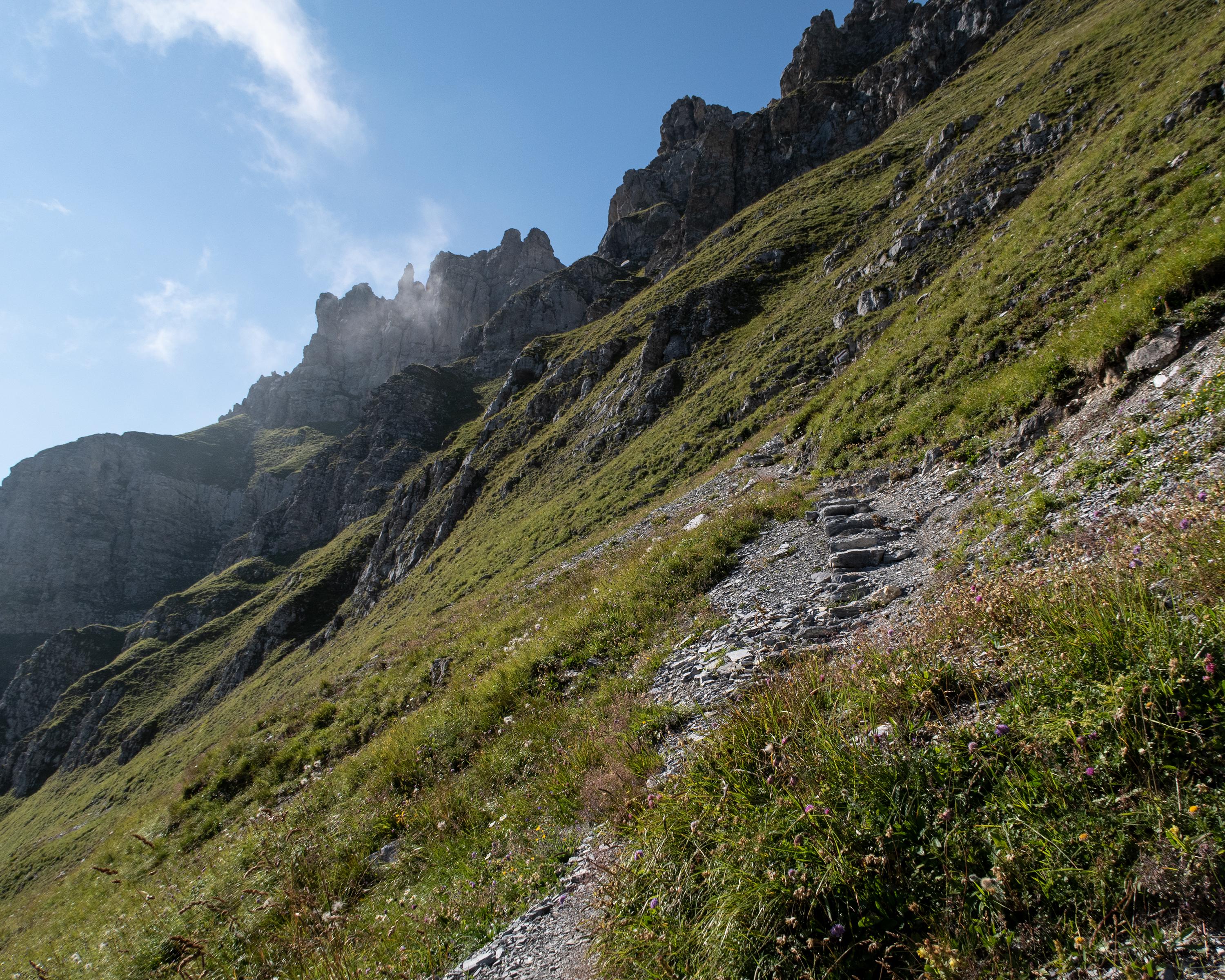
From the Engstlenalp, you climb up to the Sätteli, crossing via an exposed mountain path on the northern flank of the Gadmerflüö. The mountain path descends steeply down to the Tällihütte and follows the mountain flank into the Gadmen Valley. At the end, it zig-zags steeply down to Gadmen.

Height profile

Weather:

Comments about this activity or place?

Thank you for your feedback!