search.ch

Lugano Bike

Regional route No. 66, Rivera–Miglieglia
  • Image 1

Description

Regional route
No. 66 (Rivera–Miglieglia)
Length
39 km
Ascent • Descent
↑ 1900 m • ↓ 1700 m
Lowest point • Highest point
468 m • 1894 m
Grade
difficult
Fitness level
difficult
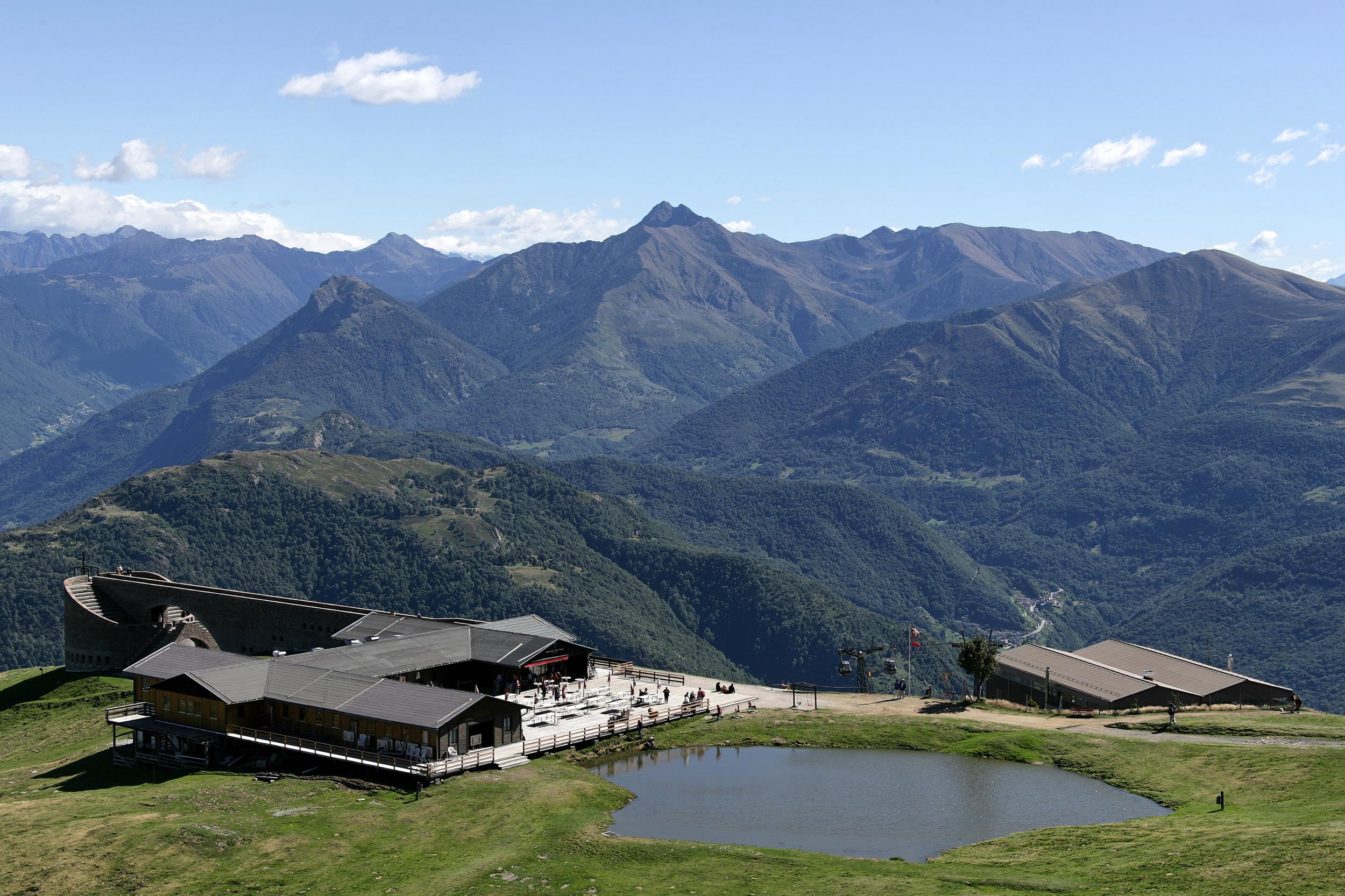
Monte Tamaro is one of the great mountain bike classics in Switzerland. To conserve energy, ride the cable car to the summit. This is followed by unpaved roads and single trails amid the forest. More single trails await between Arosio and Miglieglia, in the typical rolling landscape of Malcantone.

Height profile

Weather:

Comments about this activity or place?

Thank you for your feedback!