DE
FR
IT
EN
Directory
Weather
Map / Route
Timetable
Leisure
TV guide
Cinema
Web search
Apps
More
Personal Data »
Login:
Register
Password forgotten
or
Log in with local.ch
Log in with Apple
Log in with Facebook
Log in with Google
Log in with LinkedIn
Please note that our new
privacy statement
as well as the revised
terms and conditions of use
apply.
Leisure
Hike in Sangernboden
Alpine Panorama Trail
National route No. 3, Guggisberg–Schwarzsee
Description
National route
No. 3 (Guggisberg–Schwarzsee)
Length
16 km
Ascent • Descent
↑ 660 m • ↓ 740 m
Lowest point • Highest point
861 m • 1211 m
Hiking time
4 h 50 min
Grade
easy (hiking trail)
Fitness level
medium
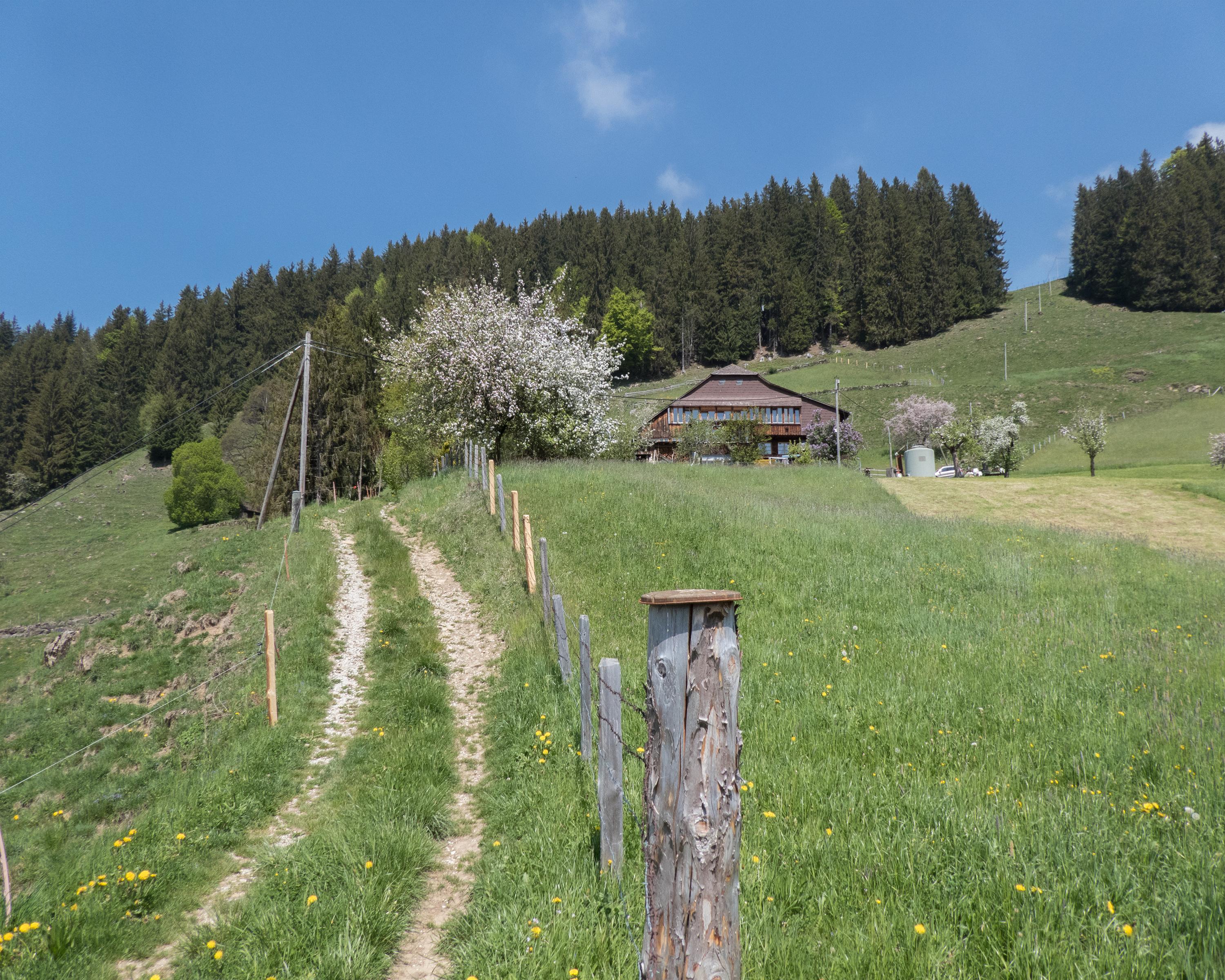
From the Bernese village of Guggisberg down to the sleepy hamlet of Hirschmatt; via forested hills to the rugged Sensegraben at Zollhaus, into Canton Fribourg and alongside the Warme Sense to the holiday centre of Schwarzsee.
Comments on this information?
We welcome your feedback!
Presented by
Route
Height profile
Weather:
More...
Comments about this activity or place?
Incorrect information
Missing information
Another topic
Thank you for your feedback!
Close