search.ch

Neuchâtel Bike

Regional route No. 56, Neuchâtel–Neuchâtel
  • Image 1

Description

Regional route
No. 56 (Neuchâtel–Neuchâtel)
Length
195 km
Ascent • Descent
↑ 4900 m • ↓ 4900 m
Lowest point • Highest point
431 m • 1462 m
Grade
medium
Fitness level
difficult
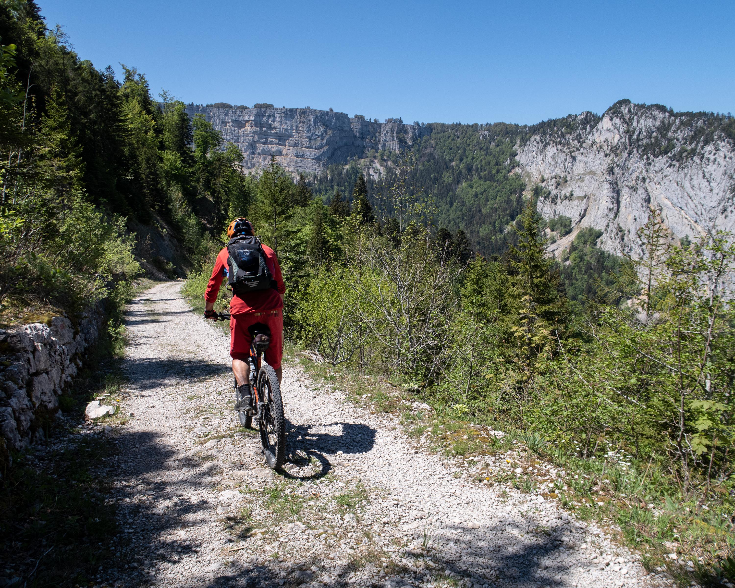
The Neuchâtel bike route leads through the Neuchâtel Jura mountains with stunning natural sights such as the Creux du Van and the Saut de Doubs. Unforgettable landscapes through pine forests, vineyards, along ridges and through the upper and lower valleys of the canton.

Height profile

Weather:

Comments about this activity or place?

Thank you for your feedback!