DE
FR
IT
EN
Directory
Weather
Map / Route
Timetable
Leisure
TV guide
Cinema
Snow
Web search
Apps
More
Personal Data »
Login:
Register
Password forgotten
or
Log in with local.ch
Log in with Apple
Log in with Facebook
Log in with Google
Log in with LinkedIn
Please note that our new
privacy statement
as well as the revised
terms and conditions of use
apply.
Leisure
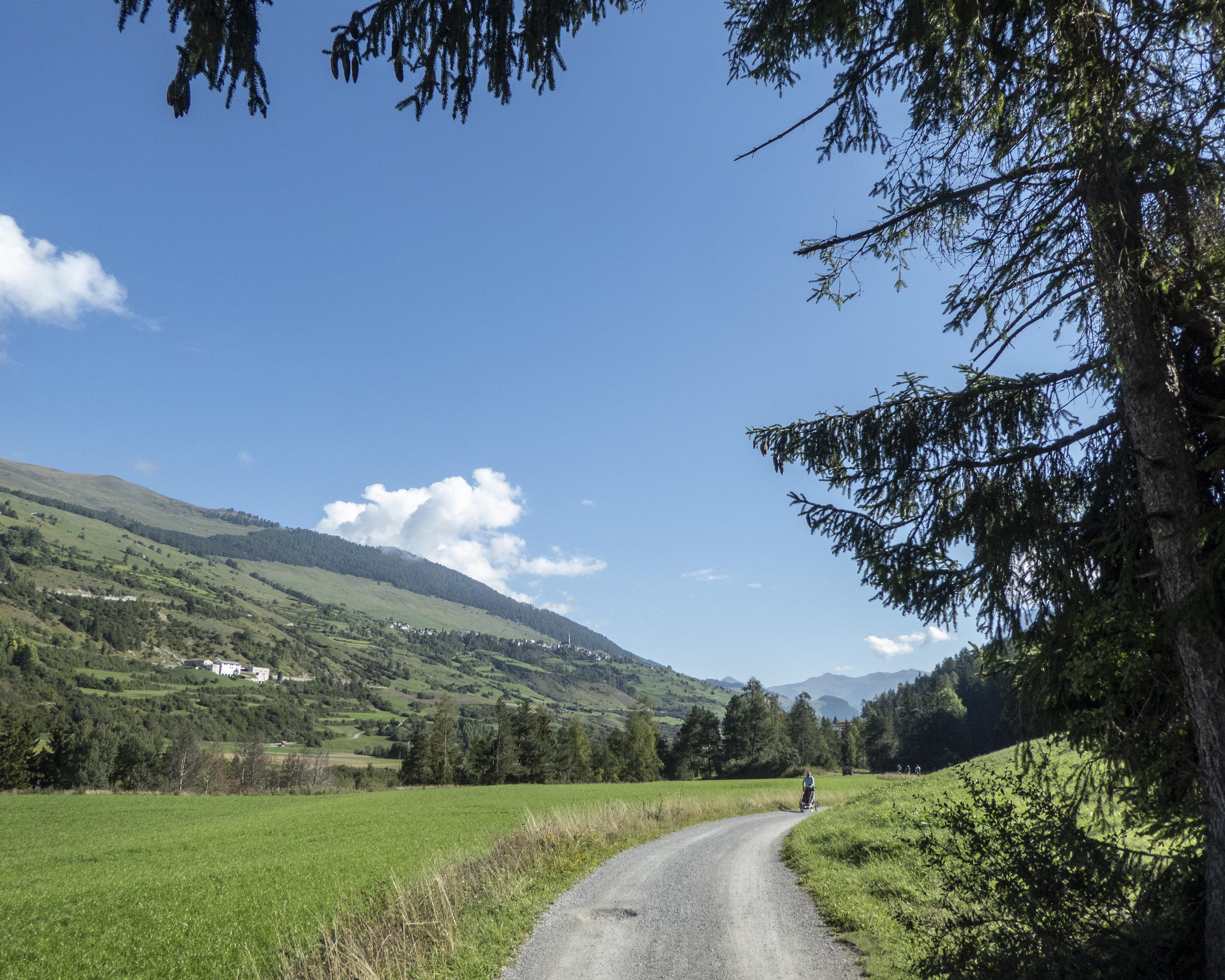
Biking in UNESCO Biosfera Engiadina Val Müstair
Graubünden Route, Stage 4/7
National route No. 6, Stage 4: Zernez – Martina
Description
National route
No. 6 (Chur – Martina / Bellinzona)
Length
52 km
Ascent • Descent
↑ 900 m • ↓ 1350 m
Lowest point • Highest point
1035 m • 1669 m
Fitness level
difficult
National route No. 6:
Graubünden Route
Stages
0. Thusis – Splügen
0. S. Bernardino – Bellinzona
0. Splügen – S. Bernardino
0. Thusis – Bergün
0. Chur – Thusis
0. Zernez – Martina
0. Bergün – Zernez
The natural grandeur of the Lower Engadine: as quiet as the beating of an eagle's wing. A little refuge for endangered species. By contrast: richly painted houses on sunny terraces, and mineral springs around Scuol-Tarasp.
Comments on this information?
We welcome your feedback!
Presented by
Route
Height profile
Weather:
More...
Comments about this activity or place?
Incorrect information
Missing information
Another topic
Thank you for your feedback!
Close