DE
FR
IT
EN
Telefonbuch
Wetter
Karte / Route
Fahrplan
Freizeit
TV
Kino
Schnee
Websuche
Apps
Mehr
Persönliche Informationen »
Anmelden:
Registrieren
Passwort vergessen
oder
Anmelden mit local.ch
Anmelden mit Apple
Anmelden mit Facebook
Anmelden mit Google
Anmelden mit LinkedIn
Bitte beachten Sie, dass unsere neue
Datenschutzerklärung
sowie die angepassten
Nutzungsbedingungen
gelten.
Freizeit
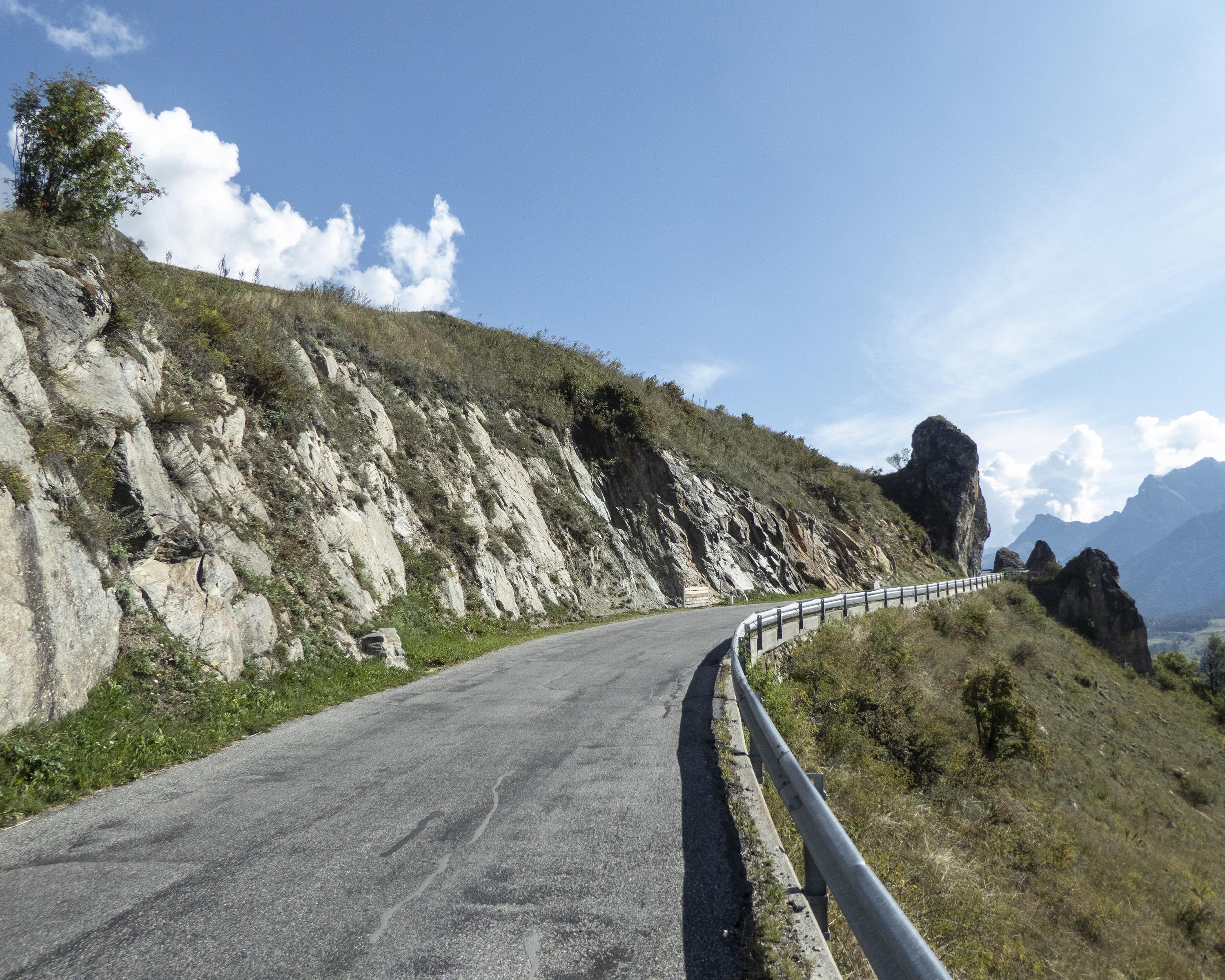
Velofahren in Zernez
Graubünden-Route, Etappe 4/7
Nationale Route Nr. 6, Etappe 4: Zernez – Martina
Beschreibung
Nationale Route
Nr. 6 (Chur – Martina / Bellinzona)
Länge
52 km
Aufstieg • Abstieg
↑ 900 m • ↓ 1350 m
Tiefster Punkt • Höchster Punkt
1035 m • 1669 m
Kondition
schwer
Nationale Route Nr. 6:
Graubünden-Route
Etappen
0. Chur – Thusis
0. Zernez – Martina
0. S. Bernardino – Bellinzona
0. Bergün – Zernez
0. Thusis – Splügen
0. Splügen – S. Bernardino
0. Thusis – Bergün
Ruhig wie der Flügelschlag eines Adlers, die grandiose Natur des Engiadina Bassa. Ein kleines Refugium gefährdeter Arten. Als Kontrapunkte die reich bemalten Häuser auf den sonnigen Terrassen und die Mineralquellen um Scuol-Tarasp.
Anmerkungen zu diesen Informationen?
Wir freuen uns über Ihr Feedback!
Präsentiert von
Route
Höhenprofil
Wetter:
Mehr...
Anmerkungen zu dieser Aktivität oder diesem Ort?
Falsche Angaben
Fehlende Informationen
Anderes Thema
Vielen Dank für dein Feedback!
Schliessen