search.ch

Churfirsten-Weg

Local route No. 950, Alt St. Johann, Selamatt–Wildhaus, Gamsalp
  • Image 1

Description

Local route
No. 950 (Alt St. Johann, Selamatt–Wildhaus, Gamsalp)
Length
10 km
Ascent • Descent
↑ 1100 m • ↓ 720 m
Lowest point • Highest point
1390 m • 2306 m
Hiking time
4 h 35 min
Grade
medium (mountain hiking trail)
Fitness level
difficult
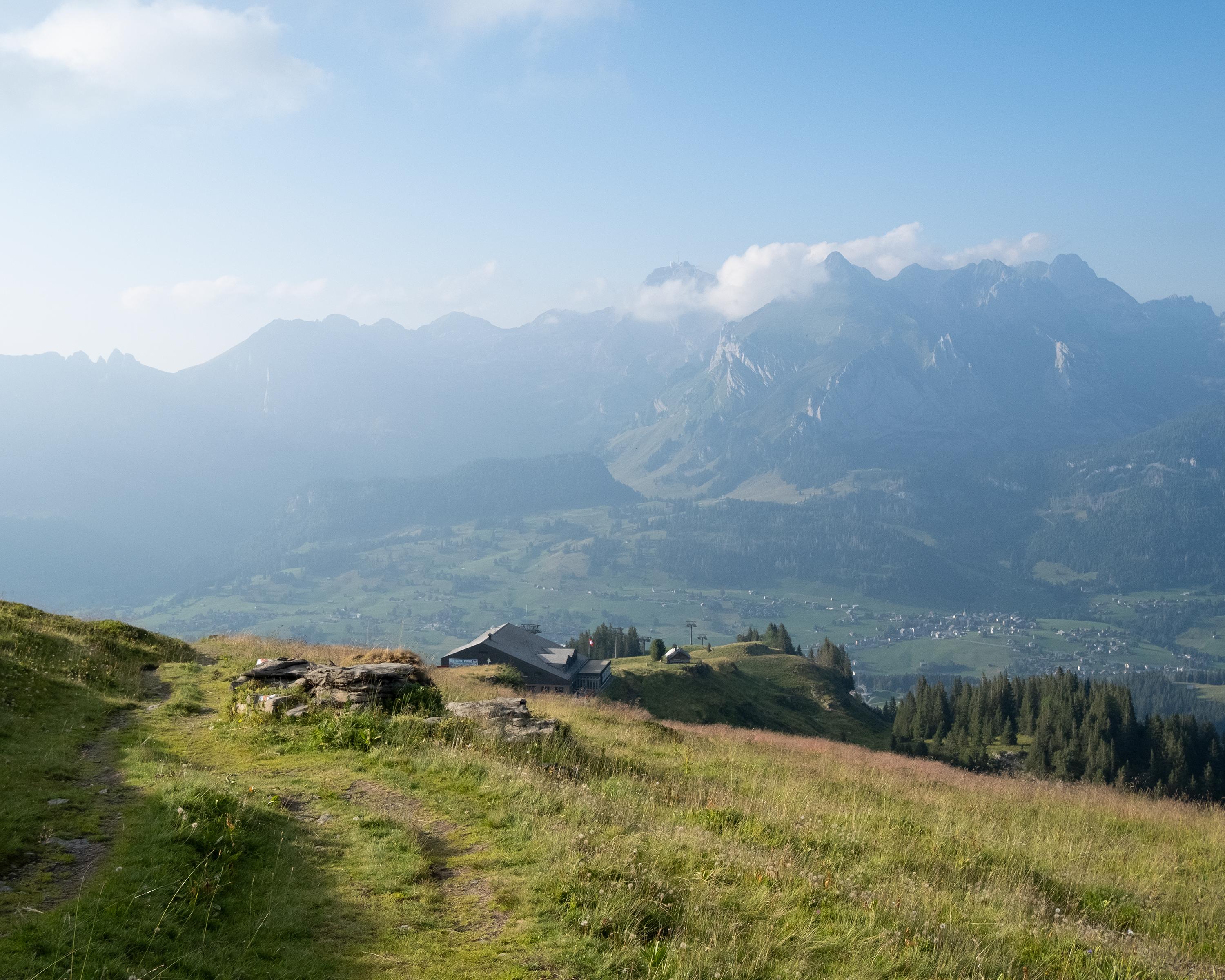
Let’s go to the colourful, flower-filled Gluristal Valley and to the top of Hinterrugg, the highest of the seven Churfirsten Mountains. A stop at Chäserrugg is a must to let your eyes wander across six countries and 500 peaks. The tour ends with the informative Geology Loop Path around Gamserrugg.

Booking Information

Height profile

Weather:

Toggenburg Tourismus

Comments about this activity or place?

Thank you for your feedback!