search.ch

Alpine Passes Trail, Stage 7/43

National route No. 6, Stage 7: Turra – Vella
  • Image 1

Description

National route
No. 6 (St. Moritz, Corviglia – St-Gingolph)
Length
28 km
Ascent • Descent
↑ 1450 m • ↓ 1950 m
Lowest point • Highest point
815 m • 2470 m
Hiking time
9 h 15 min
Grade
medium
Fitness level
difficult
National route No. 6: Alpine Passes Trail
Stages
0. Cab. des Becs de Bosson – Evolène
0. Evolène – Arolla
0. Arolla – Cab. des Dix
0. Cab. des Dix – Cab. de Prafleuri
0. Cab. de Prafleuri – Cab. de Louvie
0. Cab. de Louvie – Mauvoisin
0. Mauvoisin – Cab. de Brunet
0. Cab. de Brunet – Bourg-St-Pierre
0. Bourg-St-Pierre – Col du Gd St-Bernard
0. Col du Gd St-Bernard – La Fouly
0. La Fouly – Champex-Lac
0. Champex – Trient
0. Trient – Lac d’Emosson
0. Lac d’Emosson – Cab. de Salanfe
0. Cab. de Salanfe – Barme
0. Barme – Morgins
0. Morgins – Torgon
0. Torgon – Taney
0. Taney – St-Gingolph
0. St. Moritz, Corviglia – Jenatschhütte SAC
0. Jenatschhütte SAC – Sur GR, Alp Flix
0. Sur GR, Alp Flix – Savognin
0. Savognin – Ausserferrera
0. Ausserferrera – Splügen
0. Splügen – Turra
0. Turra – Vella
0. Rosswald – Simplon Hospiz
0. Simplon Hospiz – Gspon
0. Gspon – Saas Fee
0. Saas Fee – Grächen
0. Grächen – Gruben
0. Gruben – Hotel Weisshorn
0. Hotel Weisshorn – Grimentz
0. Grimentz – Cab. des Becs de Bosson
0. Cap. Bovarina – Cap. Cadagno
0. Cap. Cadagno – Airolo
0. Airolo – Cap. Corno-Gries
0. Cap. Corno-Gries – Rif. Margaroli
0. Rif. Margaroli – Binn
0. Binn – Rosswald
0. Vella – Vrin
0. Vrin – Cap. Scaletta
0. Cap. Scaletta – Cap. Bovarina
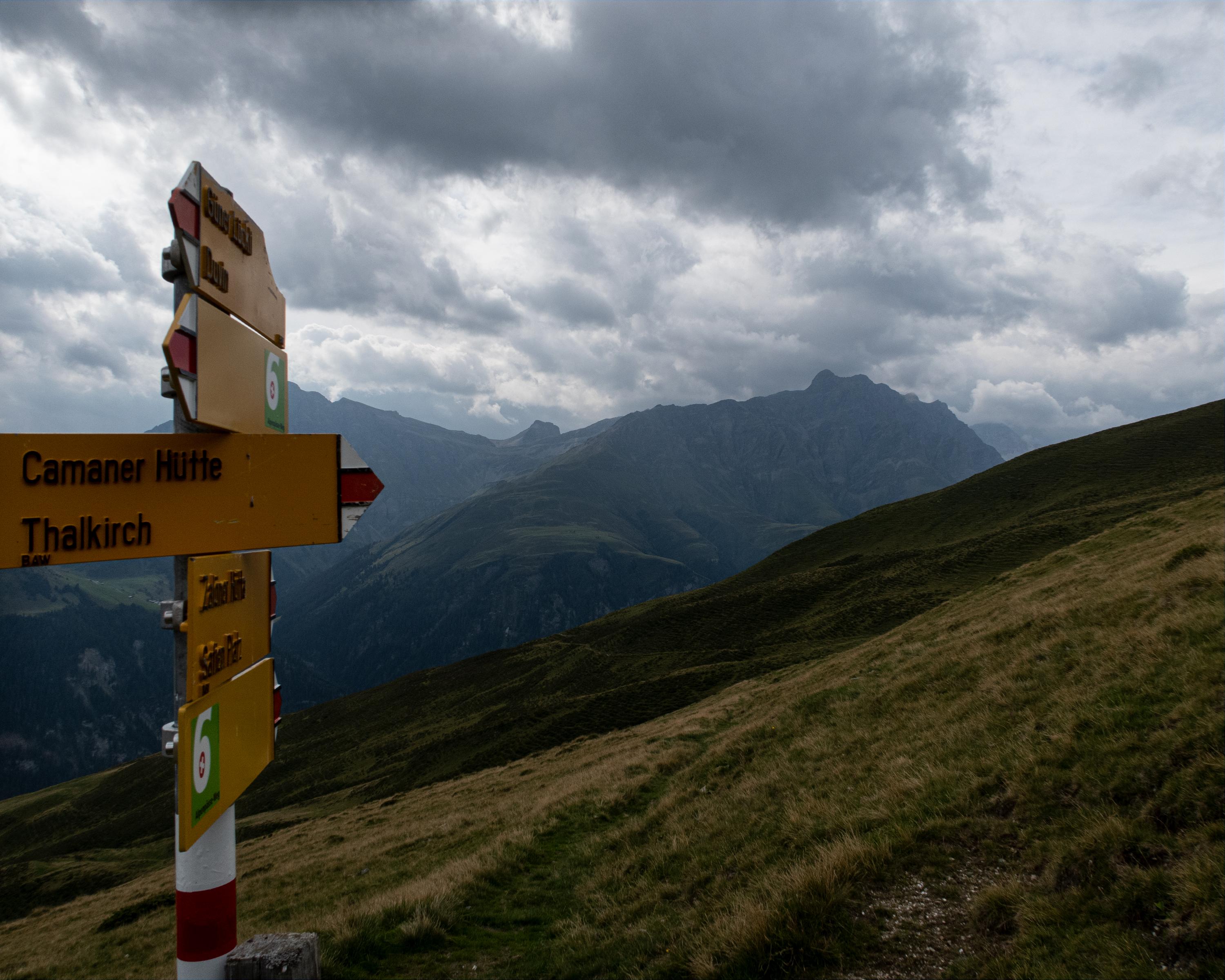
On the ascent from Thalkirch, a superb view opens up across Beverin Nature Park. The people of the Safien Valley used to transport goods to the market in Ilanz via the Güner Lückli pass. In the forest above Val da Pitasch, the trail descends to the river Glenner and then climbs again to Vella.

Height profile

Weather:

Comments about this activity or place?

Thank you for your feedback!