search.ch

Gögelland-Route

Local route No. 922, Bürglen TG–Altnau
  • Image 1

Description

Local route
No. 922 (Bürglen TG–Altnau)
Length
14 km
Ascent • Descent
↑ 150 m • ↓ 180 m
Lowest point • Highest point
410 m • 538 m
Fitness level
easy
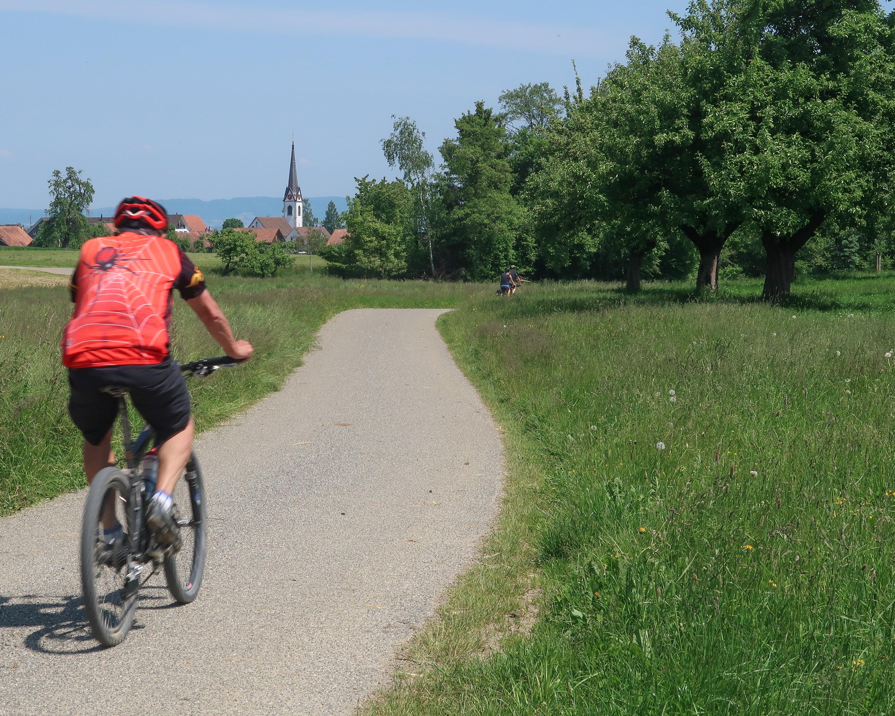
«Gögelland» refers to the area between Ottenberg and Obersee, the slopes of the lake ridge above Kreuzlingen. The most important aspect of this short path is that it makes it possible to join the paths along the lake and in Thurtal to create round trips.

Booking Information

Height profile

Weather:

Comments about this activity or place?

Thank you for your feedback!