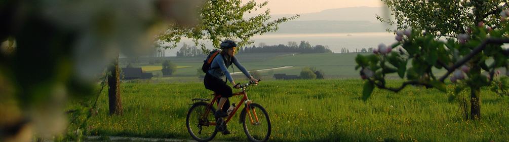
«Gögelland» refers to the area between Ottenberg and Obersee, the slopes of the lake ridge above Kreuzlingen. The most important aspect of this short path is that it makes it possible to join the paths along the lake and in Thurtal to create round trips.
Gögelland refers to an area that was originally very isolated. For the inhabitants of larger settlements like Weinfelden and Kreuzlingen the people of Gögelland were considered somewhat awkward and clumsy. Linguists trace the name back to «goukelaere» which means sorcerer, imposter or conjuror. Another possible origin is the word «Ganggel», which refers to a childish or foolish man, and this might explain the sign with the fool's cap The crossing over the Thur at Bürglen has been settled since Roman times. In 1790 a bridge was built over the river, which until then had to be crossed by ferry. The local castle dates from the 13th century and was rebuilt after a fire in 1633. In the next village, Leimbach, the first pasta making business in the Canton was founded around 1850. It was later moved to Weinfelden. The next section goes into Langrickenbach past a tall tower, visible from a great distance. It dates from 1728. The path around Altnau tells you everything you need to know about the topic of fruit growing in the Thurgau; the 9km long nature trail takes you through the orchards and offers a fantastic view of Lake Constance.