DE
FR
IT
EN
Directory
Weather
Map / Route
Timetable
Leisure
TV guide
Cinema
Snow
Web search
Apps
More
Personal Data »
Login:
Register
Password forgotten
or
Log in with local.ch
Log in with Apple
Log in with Facebook
Log in with Google
Log in with LinkedIn
Please note that our new
privacy statement
as well as the revised
terms and conditions of use
apply.
Leisure
Biking in Thurgau
Geo-Route, Stage 2/2
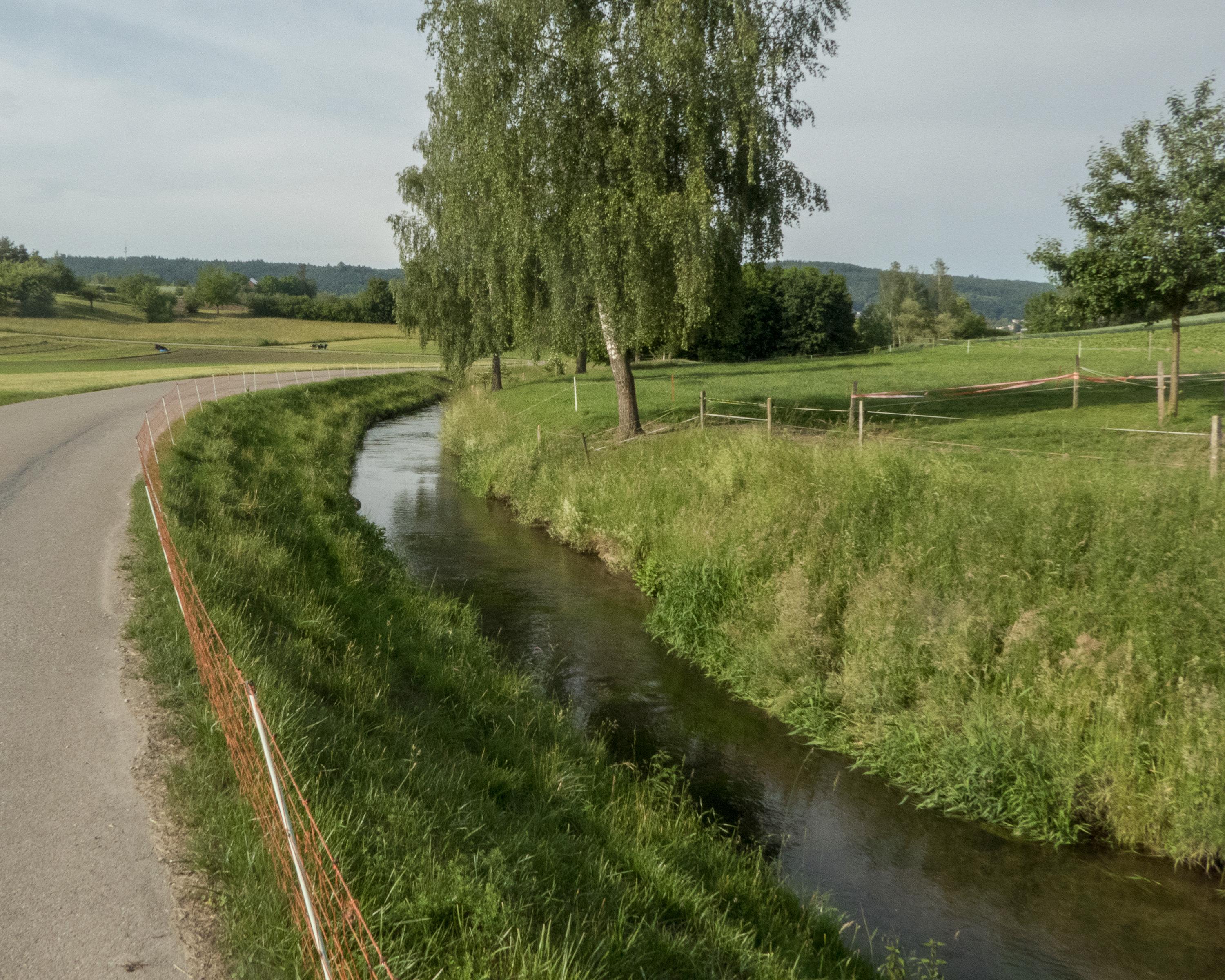
Local route No. 923, Stage 2: Weinfelden – Schaffhausen
Description
Local route
No. 923 (Romanshorn – Schaffhausen)
Length
68 km
Ascent • Descent
↑ 720 m • ↓ 780 m
Lowest point • Highest point
389 m • 648 m
Fitness level
difficult
Local route No. 923:
Geo-Route
Stages
3. Romanshorn – Weinfelden
3. Weinfelden – Schaffhausen
On the way from Weinfelden to Schaffhausen a boulder field and the Seebach valley mark what was once the edge of a glacier tongue. At the Rheinfall, Europe's biggest waterfall, it is easy to see the power of the water and how it acts on the rock.
Booking Information
E-mail:
info@thurgau-bodensee.ch
Comments on this information?
We welcome your feedback!
Presented by
Route
Height profile
Weather:
More...
Thurgau Tourismus
Egelmoosstrasse 1, 8580 Amriswil
Thurgau Tourismus
Egelmoosstrasse 1, 8580 Amriswil
071 414 11 44
Comments about this activity or place?
Incorrect information
Missing information
Another topic
Thank you for your feedback!
Close