search.ch

Geo-Route, Stage 1/2

Local route No. 923, Stage 1: Romanshorn – Weinfelden
  • Image 1

Description

Local route
No. 923 (Romanshorn – Schaffhausen)
Length
31 km
Ascent • Descent
↑ 400 m • ↓ 360 m
Lowest point • Highest point
399 m • 581 m
Fitness level
easy
Local route No. 923: Geo-Route
Stages
1. Romanshorn – Weinfelden
2. Weinfelden – Schaffhausen
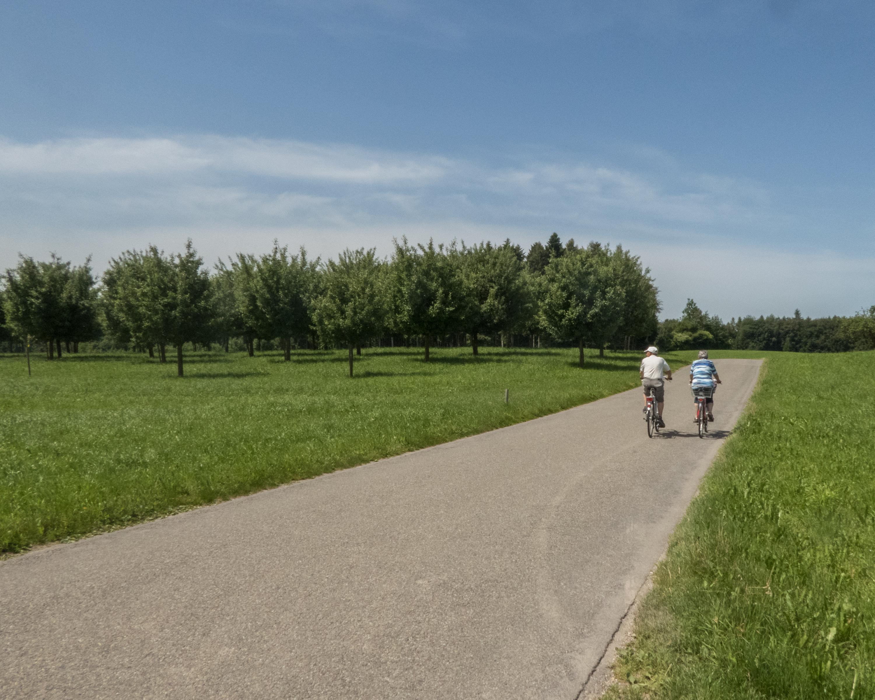
From Romanshorn, the route takes you through the enthralling Oberthurgau region. The landscape here is dotted with gentle, rolling hills, born from ice-age glaciers eroding the rocks. Along the way, you’ll see why we also have those glaciers to thank for today’s wine industry. Passing through Sulgen, the route reaches the rich gravel and groundwater reserves of the Thurtal valley.

Booking Information

Height profile

Weather:

Comments about this activity or place?

Thank you for your feedback!