DE
FR
IT
EN
Directory
Weather
Map / Route
Timetable
Leisure
TV guide
Cinema
Snow
Web search
Apps
More
Personal Data »
Login:
Register
Password forgotten
or
Log in with local.ch
Log in with Apple
Log in with Facebook
Log in with Google
Log in with LinkedIn
Please note that our new
privacy statement
as well as the revised
terms and conditions of use
apply.
Leisure
Biking in Lucerne – Lake Lucerne
Rhone Route
National route No. 1, Andermatt – Geneva
Description
National route
No. 1 (Andermatt – Geneva)
Length
350 km
Ascent • Descent
↑ 3600 m • ↓ 4700 m
Lowest point • Highest point
338 m • 2429 m
Fitness level
medium
National route No. 1: Rhone Route
Stages
0. Morges – Genève
0. Brig – Sierre
0. Sierre – Martigny
0. Andermatt – Oberwald
0. Oberwald – Brig
0. Genève – Bois de Chancy
0. Martigny – Montreux
0. Montreux – Morges
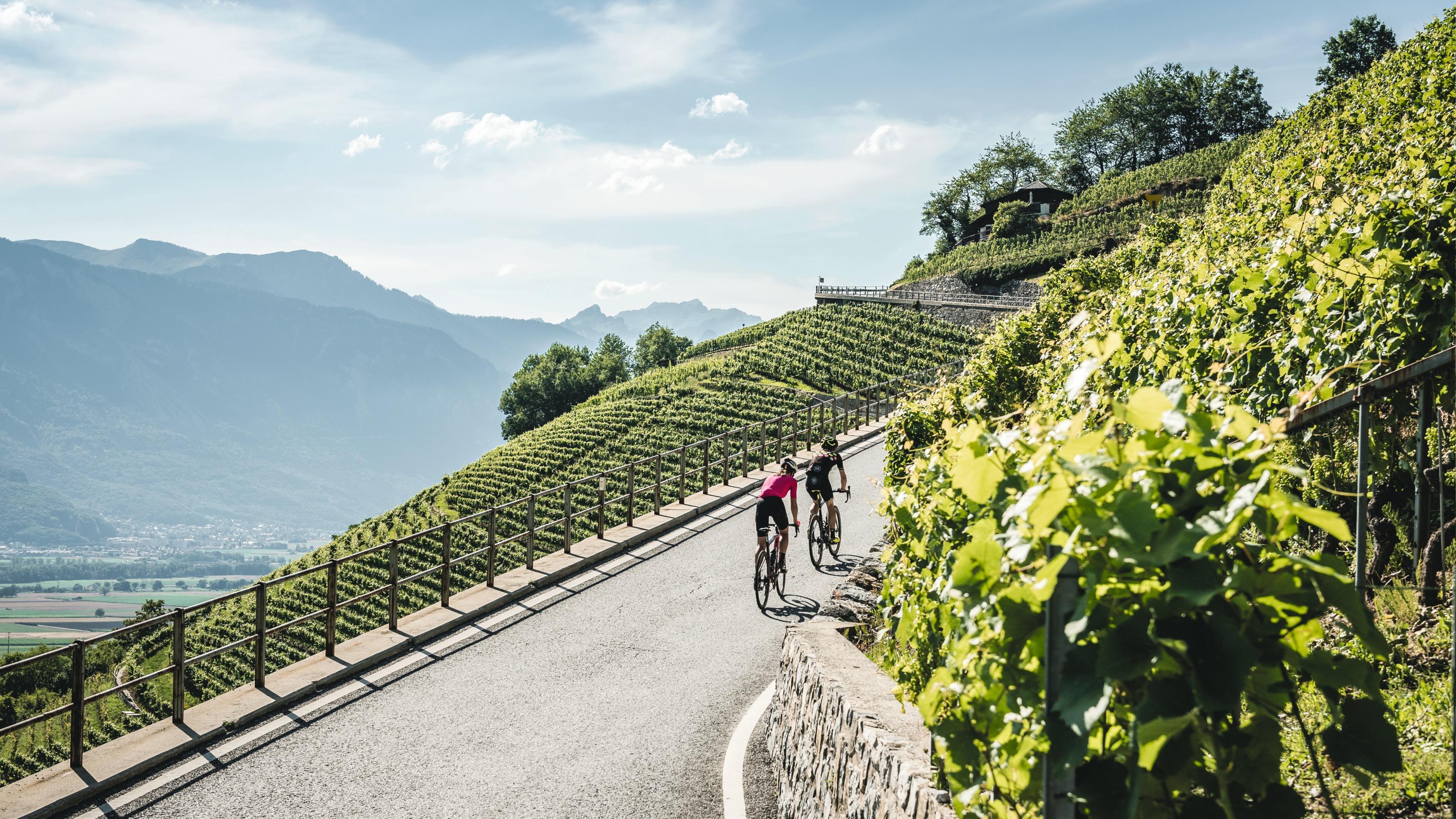
The Rhone Route runs through the magnificent mountain scenery of the Valais on charming, quiet paths along the Rhone. It leads along the famous palm-lined promenades of Lac Léman and the picturesque Lavaux vineyards and ends at cosmopolitan Genève.
Comments on this information?
We welcome your feedback!
Presented by
Route
Height profile
Weather:
More...
Comments about this activity or place?
Incorrect information
Missing information
Another topic
Thank you for your feedback!
Close