DE
FR
IT
EN
Directory
Weather
Map / Route
Timetable
Leisure
TV guide
Cinema
Snow
Web search
Apps
More
Personal Data »
Login:
Register
Password forgotten
or
Log in with local.ch
Log in with Apple
Log in with Facebook
Log in with Google
Log in with LinkedIn
Please note that our new
privacy statement
as well as the revised
terms and conditions of use
apply.
Leisure
Biking in Brig
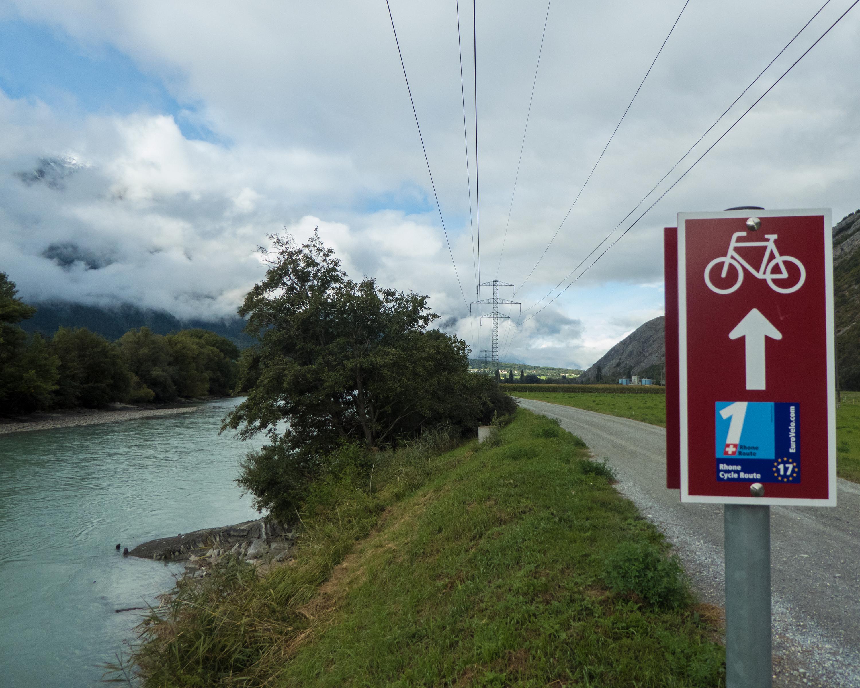
Rhone Route, Stage 3/8
National route No. 1, Stage 3: Brig – Sierre
Description
National route
No. 1 (Andermatt – Geneva)
Length
42 km
Ascent • Descent
↑ 180 m • ↓ 320 m
Lowest point • Highest point
524 m • 673 m
Fitness level
medium
National route No. 1:
Rhone Route
Stages
0. Montreux – Morges
0. Brig – Sierre
0. Sierre – Martigny
0. Morges – Genève
0. Martigny – Montreux
0. Andermatt – Oberwald
0. Oberwald – Brig
0. Genève – Bois de Chancy
The main valley in the Valais widens, sun warms the dry mountain slopes. Between Leuk and Sierre an unruly part of the Rhone, and the Pfynwald, a nature reserve on a huge mound of glacier detritus; a motorway will be built here by 2020.
Comments on this information?
We welcome your feedback!
Presented by
Route
Height profile
Weather:
More...
Comments about this activity or place?
Incorrect information
Missing information
Another topic
Thank you for your feedback!
Close