search.ch

Swiss Tour Monte Rosa

Regional route No. 27, Saas Fee–Zermatt
  • Image 1

Description

Regional route
No. 27 (Saas Fee–Zermatt)
Length
56 km
Ascent • Descent
↑ 4000 m • ↓ 4200 m
Lowest point • Highest point
1310 m • 2386 m
Grade
medium (mountain hiking trail)
Fitness level
difficult
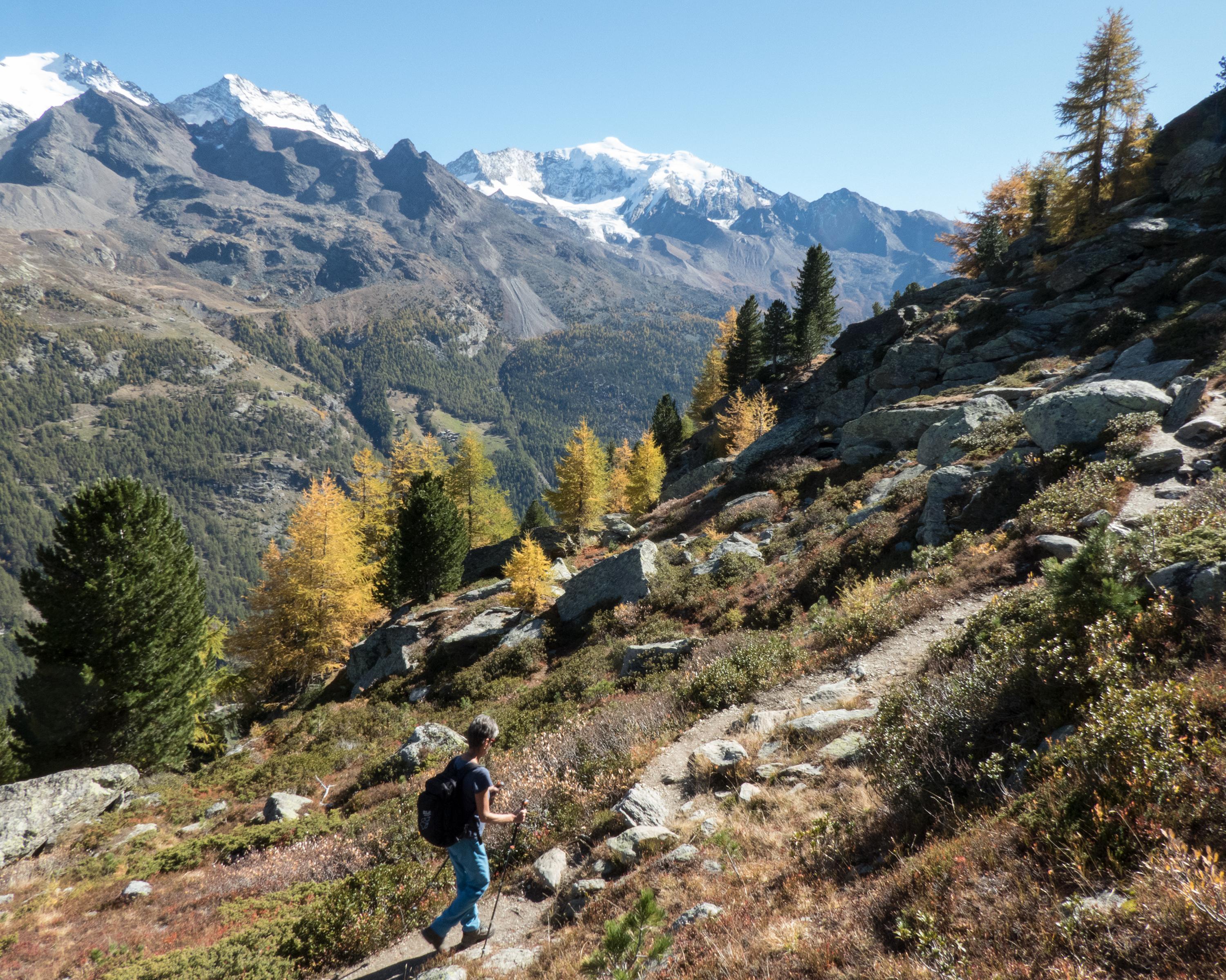
Powerful combination: the Balfrin high-level trail from Sass-Fee to Grächen and the Europaweg trail from Grächen to Zermatt form the «Swiss Tour Monte Rosa». Three-day panoramic hike with stunning views of the icy 4000-m mountains of Saastal and Mattertal.

Height profile

Weather:

Comments about this activity or place?

Thank you for your feedback!