DE
FR
IT
EN
Elenco
Meteo
Mappa
Orario
Tempo libero
TV
Cinema
Ricerca Web
Applicazione
Più
Informazioni personali »
Accesso:
Registratevi
Dimenticata la password
o
Accedi con local.ch
Accedi con Apple
Accedi con Facebook
Accedi con Google
Accedi con LinkedIn
Si prega di prendere atto che si applicano le nostre nuove
informative sulla protezione dei dati
, così come le
condizioni di utilizzo
modificate.
Tempo libero
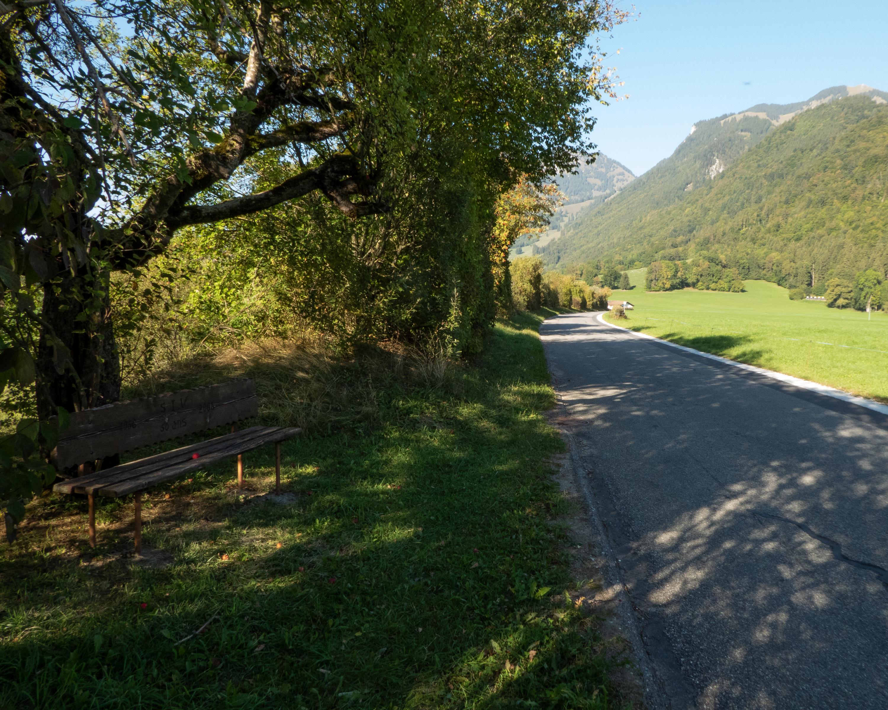
Bicicletta a Lago della Gruyère
Lakes Route, Stage 2/10
Percorso nazionale N. 9, Tappa 2: Bulle – Gstaad
Descrizione
Percorso nazionale
N. 9 (Montreux – Rorschach)
Lunghezza
45 km
Salite • Discesa
↑ 820 m • ↓ 540 m
Punto più basso • Punto più alto
699 m • 1051 m
Forma fisica
medio
Percorso nazionale N. 9:
Percorso dei laghi
Tappe
1. Montreux – Bulle
2. Bulle – Gstaad
3. Gstaad – Spiez
4. Spiez – Meiringen
5. Meiringen – Sarnen
6. Sarnen – Zug
7. Zug – Einsiedeln
8. Einsiedeln – Ziegelbrücke
9. Ziegelbrücke – Buchs
10. Buchs – Rorschach
Picture postcard Switzerland: cheese, chalets, snowy summits, cable cars, hotel aromas and scissor cuts. Away from the idyllic image, the Pays d'Enhaut and Saanenland, an impressive landscape enlivened by a VIP aura and canny mountain folk.
Commenti su queste informazioni?
Non vediamo l'ora di ricevere il suo feedback!
Presentato da
Itinerario
Grafico altezza
Meteo:
Più...
Commenti su questa attività o luogo?
Informazioni errate
Informazioni mancanti
Un altro tema
Grazie per il tuo commento!
Chiudi