DE
FR
IT
EN
Directory
Weather
Map / Route
Timetable
Leisure
TV guide
Cinema
Snow
Web search
Apps
More
Personal Data »
Login:
Register
Password forgotten
or
Log in with local.ch
Log in with Apple
Log in with Facebook
Log in with Google
Log in with LinkedIn
Please note that our new
privacy statement
as well as the revised
terms and conditions of use
apply.
Leisure
Biking in Lucerne – Lake Lucerne
Rhine Route
National route No. 2, Andermatt – Basel
Description
National route
No. 2 (Andermatt – Basel)
Length
430 km
Ascent • Descent
↑ 3400 m • ↓ 4600 m
Lowest point • Highest point
245 m • 2044 m
Fitness level
medium
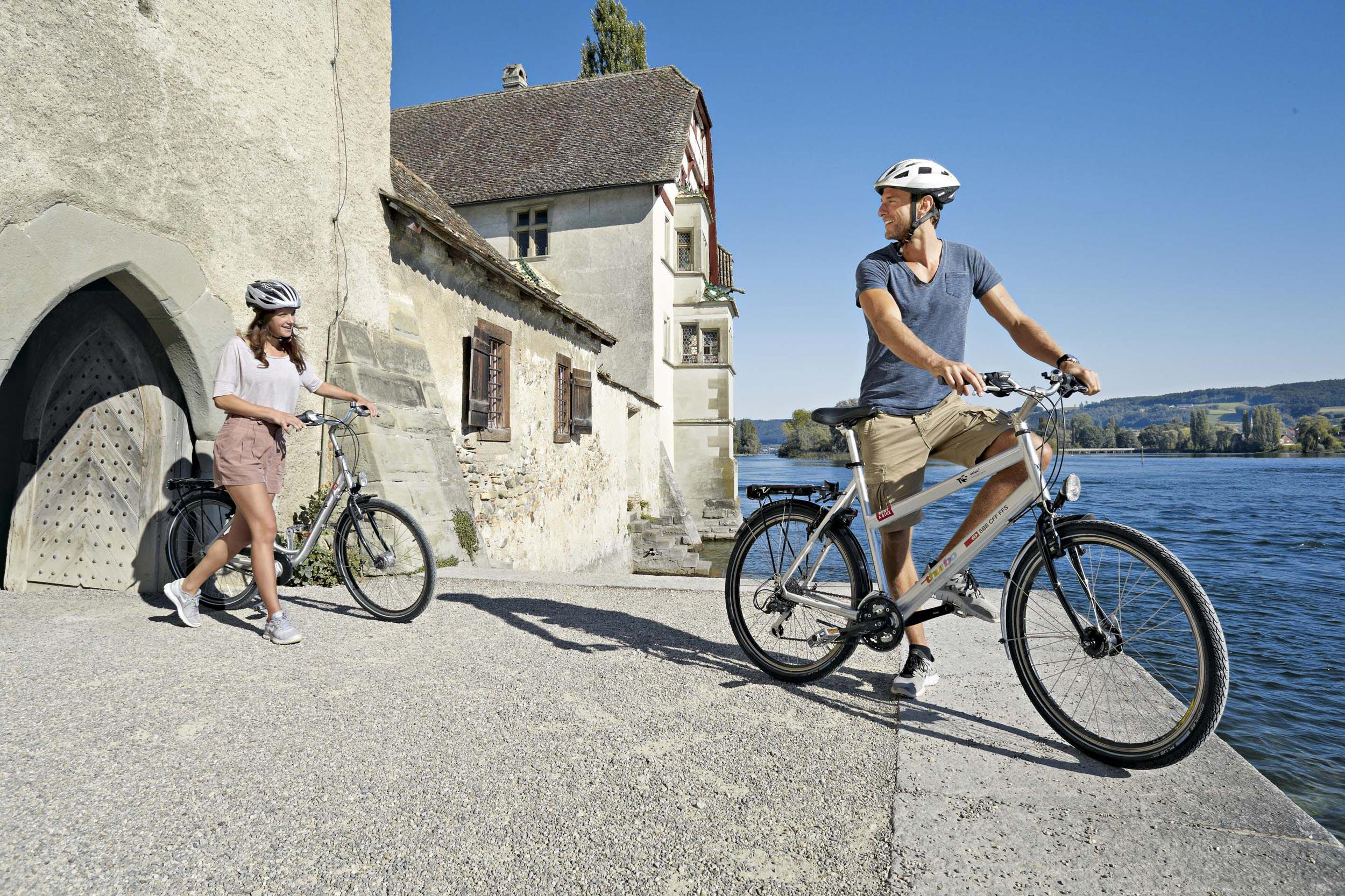
National route No. 2: Rhine Route
Stages
0. Schaffhausen – Bad Zurzach
0. Kreuzlingen – Schaffhausen
0. Disentis – Chur
0. St. Margrethen – Kreuzlingen
0. Bad Zurzach – Rheinfelden
0. Chur – Buchs
0. Buchs – St. Margrethen
0. Andermatt – Disentis
0. Rheinfelden – Basel
The Rhine Route follows the Alpine river from mountain source to the large Rhine port at Basel. A vastly varied trip through diverse landscapes hewn by the mighty river over the ages.
Comments on this information?
We welcome your feedback!
Presented by
Route
Height profile
Weather:
More...
Comments about this activity or place?
Incorrect information
Missing information
Another topic
Thank you for your feedback!
Close