search.ch

Rhine Route, Stage 4/9

National route No. 2, Stage 4: Buchs – St. Margrethen
  • Image 1

Description

National route
No. 2 (Andermatt – Basel)
Length
43 km
Ascent • Descent
↑ 150 m • ↓ 190 m
Lowest point • Highest point
402 m • 470 m
Fitness level
medium
National route No. 2: Rhine Route
Stages
1. Andermatt – Disentis
2. Disentis – Chur
3. Chur – Buchs
4. Buchs – St. Margrethen
5. St. Margrethen – Kreuzlingen
6. Kreuzlingen – Schaffhausen
7. Schaffhausen – Bad Zurzach
8. Bad Zurzach – Rheinfelden
9. Rheinfelden – Basel
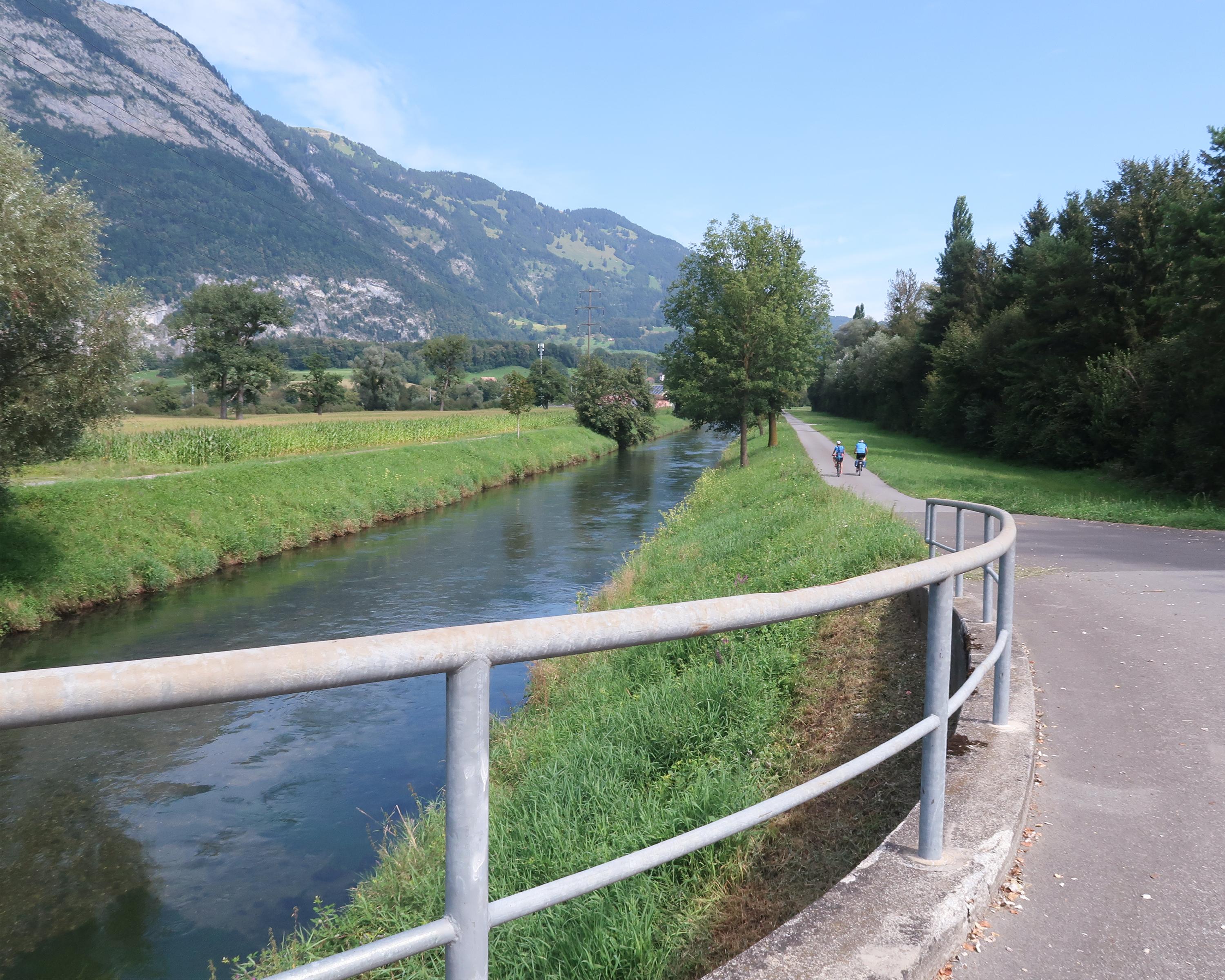
The St.Gallen Rhine Valley is an area where you often enjoy a warm wind. A lot of new land was created when the course of the Alpine Rhine was corrected here, land which ultimately turned into Europe’s largest freshwater delta with a rich and varied birdlife.

Height profile

Weather:

Comments about this activity or place?

Thank you for your feedback!