DE
FR
IT
EN
Telefonbuch
Wetter
Karte / Route
Fahrplan
Freizeit
TV
Kino
Schnee
Websuche
Apps
Mehr
Persönliche Informationen »
Anmelden:
Registrieren
Passwort vergessen
oder
Anmelden mit local.ch
Anmelden mit Apple
Anmelden mit Facebook
Anmelden mit Google
Anmelden mit LinkedIn
Bitte beachten Sie, dass unsere neue
Datenschutzerklärung
sowie die angepassten
Nutzungsbedingungen
gelten.
Freizeit
Velofahren in Aargau und Solothurn Region
Rhein-Route, Etappe 4/9
Nationale Route Nr. 2, Etappe 4: Buchs – St. Margrethen
Beschreibung
Nationale Route
Nr. 2 (Andermatt – Basel)
Länge
43 km
Aufstieg • Abstieg
↑ 150 m • ↓ 190 m
Tiefster Punkt • Höchster Punkt
402 m • 470 m
Kondition
mittel
Nationale Route Nr. 2:
Rhein-Route
Etappen
0. Schaffhausen – Bad Zurzach
0. Disentis – Chur
0. Kreuzlingen – Schaffhausen
0. Rheinfelden – Basel
0. Buchs – St. Margrethen
0. Andermatt – Disentis
0. Chur – Buchs
0. Bad Zurzach – Rheinfelden
0. St. Margrethen – Kreuzlingen
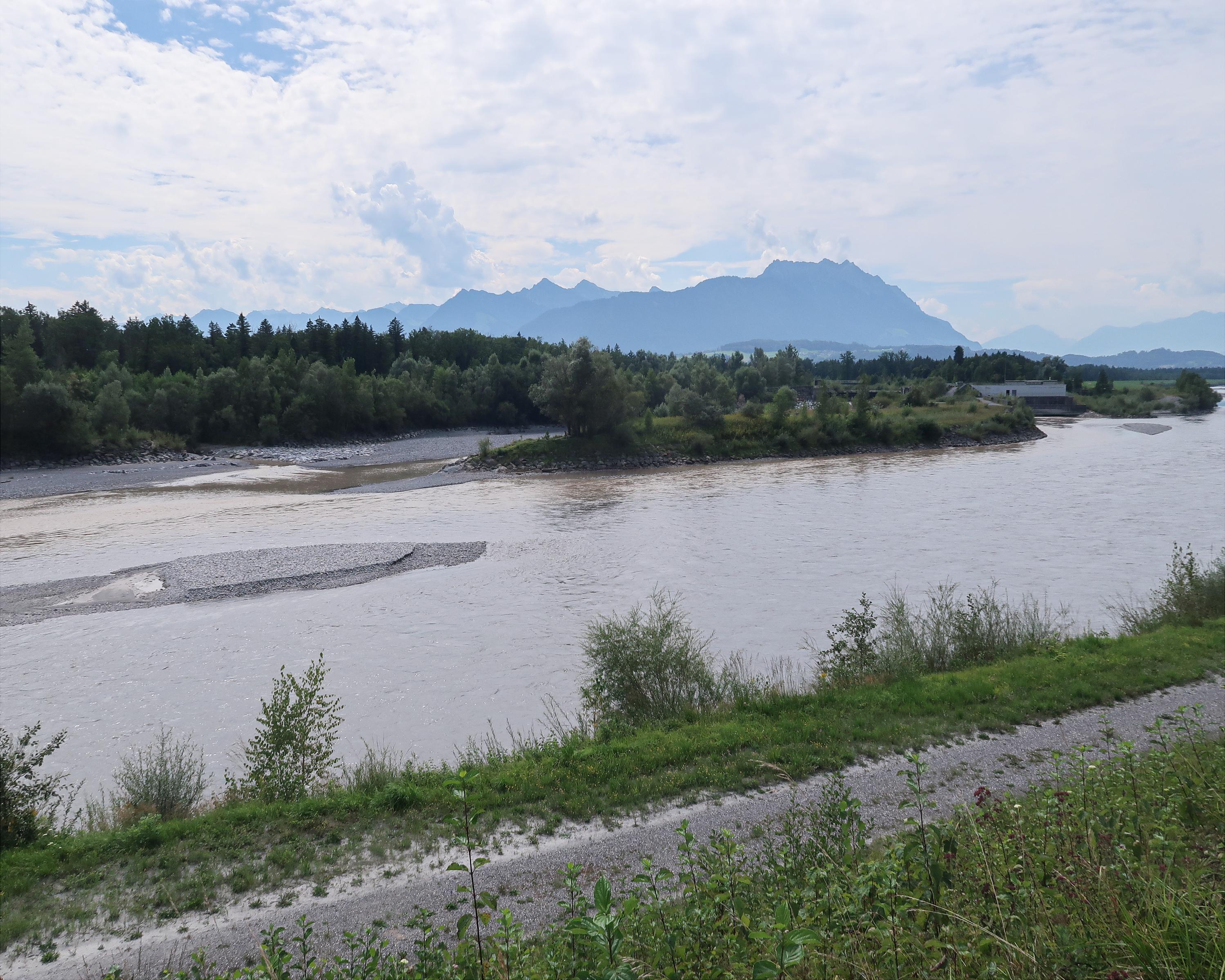
Das St.Galler Rheintal ist eine oft vom warmen Föhn verwöhnte Landschaft. Viel Land wurde bei Flusskorrekturen des Alpenrheins im Rheintal gewonnen. Dadurch entstand das grösste Süsswasserdelta Europas mit einer reichen Vogelwelt.
Anmerkungen zu diesen Informationen?
Wir freuen uns über Ihr Feedback!
Präsentiert von
Route
Höhenprofil
Wetter:
Mehr...
Anmerkungen zu dieser Aktivität oder diesem Ort?
Falsche Angaben
Fehlende Informationen
Anderes Thema
Vielen Dank für dein Feedback!
Schliessen