search.ch

Walserweg Gottardo, Stage 13/14

Percorso regionale N. 62, Tappa 13: Curaglia – Sumvitg, Val
  • Immagine 1

Descrizione

Percorso regionale
N. 62 (Binn – Obersaxen, St. Martin)
Lunghezza
16 km
Salite • Discesa
↑ 1300 m • ↓ 1400 m
Punto più basso • Punto più alto
1207 m • 2180 m
Tempo di marcia
6 h 40 min
Tecnica
medio
Forma fisica
difficile
Percorso regionale N. 62: Walserweg Gottardo
Tappe
0. Binn – Crampiolo (I)
0. Crampiolo (I) – Salècchio (I)
0. Andermatt – Oberalppass
0. Oberalppass – Curaglia
0. Curaglia – Sumvitg, Val
0. Sumvitg, Val – Obersaxen, St. Martin
0. Salècchio (I) – Lago Vanninio/Margaroli (I)
0. Lago Vanninio/Margaroli (I) – Ponte Formazza (I)
0. Ponte Formazza (I) – Bosco Gurin
0. Bosco Gurin – Bignasco
0. Bignasco – Robiei
0. Robiei – Bedretto
0. Bedretto – Passo San Gottardo
0. Passo San Gottardo – Andermatt
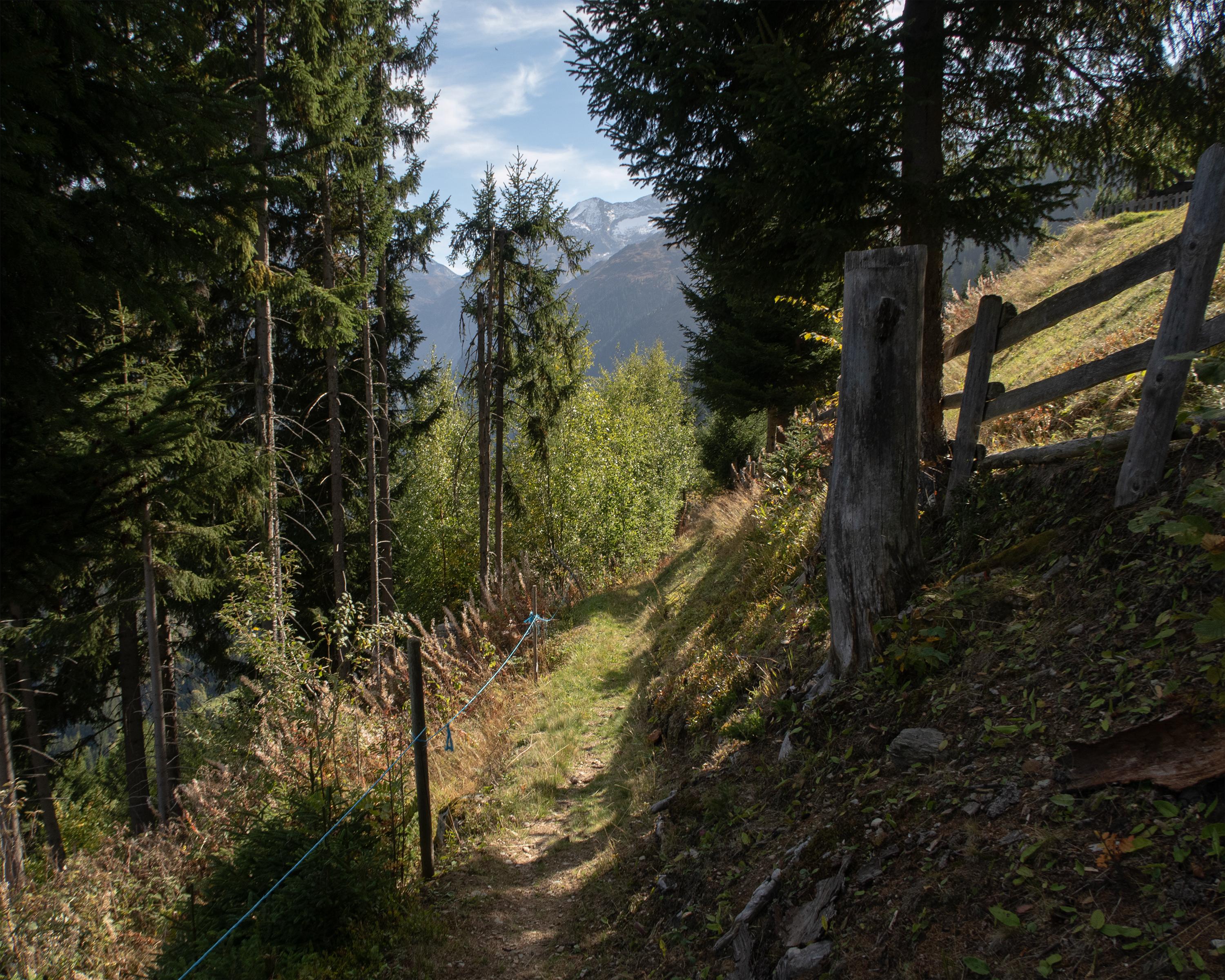
Steep climb through a gorge and to the heights of Alp Soliva. High above the valley floor with superb views of Disentis and the Surselva, the path winds through torrent gorges, and across alpine meadows to the idyllic Lag da Laus. Finally, there follows the long descent to Val, located in a quiet side valley of the Surselva.

Itinerario

Grafico altezza

Meteo:

Commenti su questa attività o luogo?

Grazie per il tuo commento!