DE
FR
IT
EN
Directory
Weather
Map / Route
Timetable
Leisure
TV guide
Cinema
Snow
Web search
Apps
More
Personal Data »
Login:
Register
Password forgotten
or
Log in with local.ch
Log in with Apple
Log in with Facebook
Log in with Google
Log in with LinkedIn
Please note that our new
privacy statement
as well as the revised
terms and conditions of use
apply.
Leisure
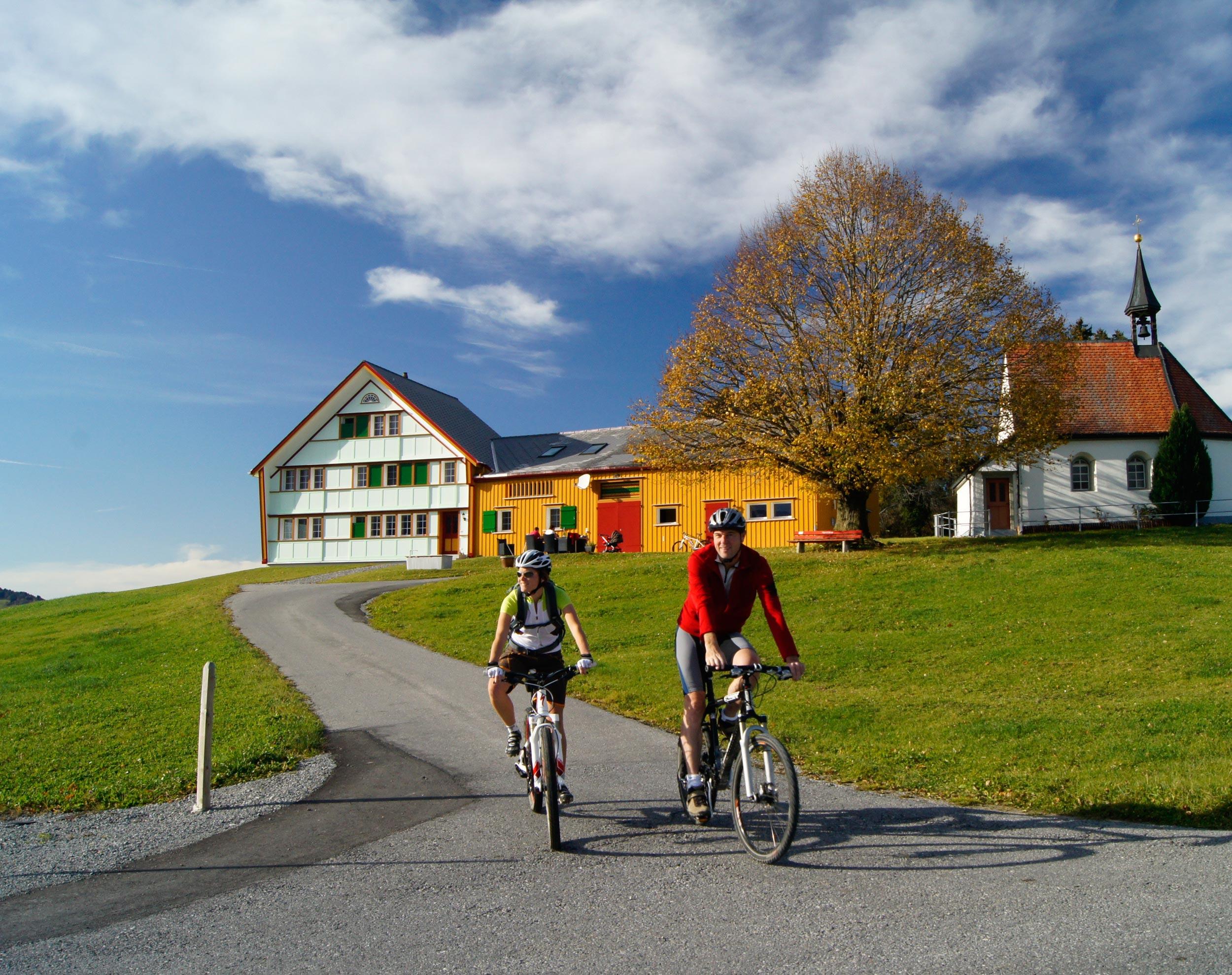
Biking in Appenzellerland
Appenzeller Route
Regional route No. 42, St. Gallen – St. Gallen
Description
Regional route
No. 42 (St. Gallen – St. Gallen)
Length
69 km
Ascent • Descent
↑ 1650 m • ↓ 1650 m
Lowest point • Highest point
600 m • 1184 m
Fitness level
difficult
Regional route No. 42: Appenzeller Route
Stages
0. St. Gallen – Gais
0. Gais – St. Gallen
A circular route through the green hills of the Appenzell region, on the sunny balcony above the Bodensee with typical farmhouses and strong-willed, likeable local people. Far from daily hustle and bustle but never far from a tavern.
Comments on this information?
We welcome your feedback!
Presented by
Route
Height profile
Weather:
More...
Comments about this activity or place?
Incorrect information
Missing information
Another topic
Thank you for your feedback!
Close