Local route No. 566, Stage 6: La Givrine – La Givrine
Description
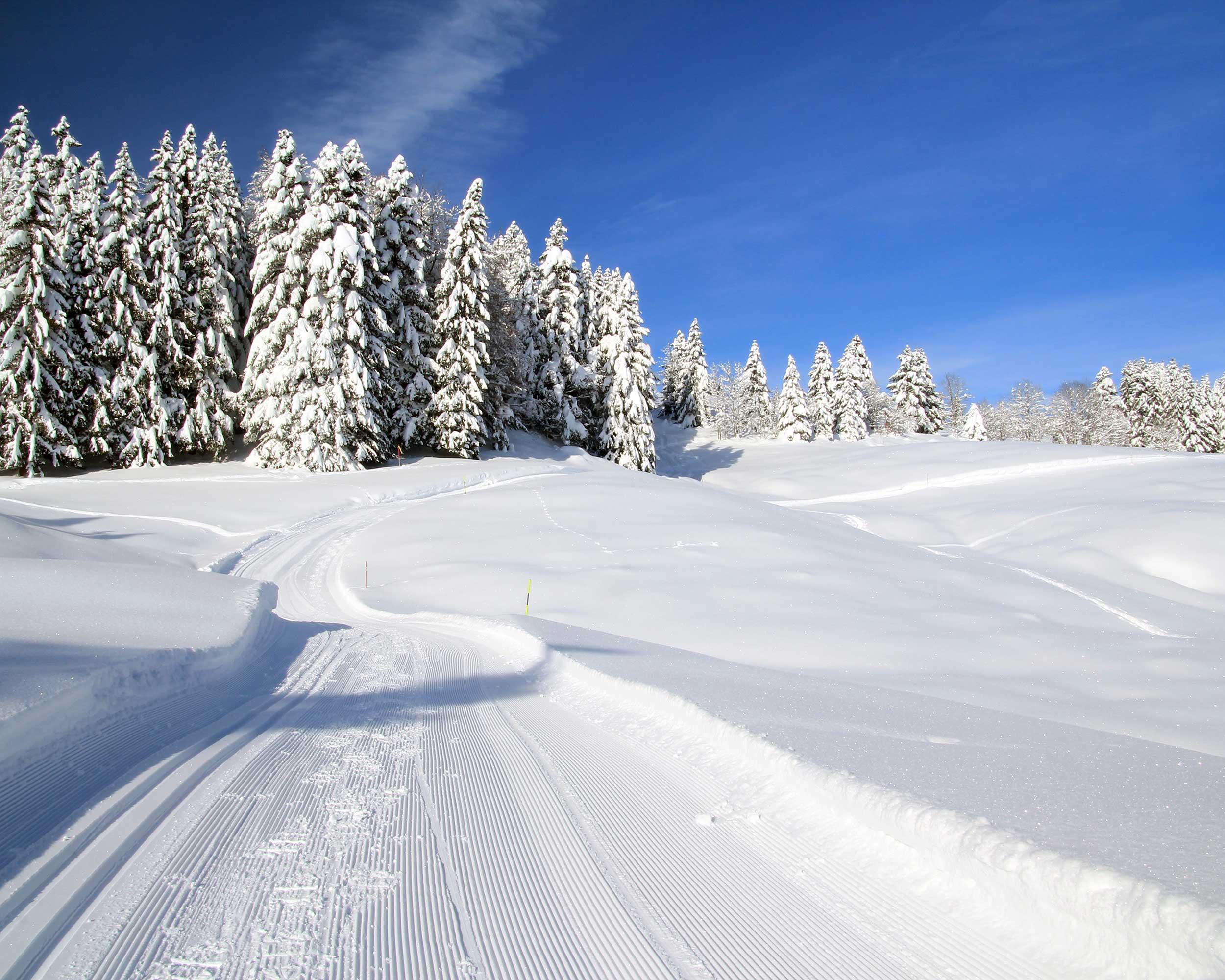
Local route
No. 566
Length
9 km
Ascent • Descent
↑ 200 m • ↓ 200 m
Lowest point • Highest point
1213 m • 1334 m
Fitness level
medium
The La Tourbière circular trail takes you to Fruitières de Nyon and includes the vast Jura landscape on the border with France. The undemanding, varied stretch boasts panoramic views to Mont Blanc.