DE
FR
IT
EN
Directory
Weather
Map / Route
Timetable
Leisure
TV guide
Cinema
Web search
Apps
More
Personal Data »
Login:
Register
Password forgotten
or
Log in with local.ch
Log in with Apple
Log in with Facebook
Log in with Google
Log in with LinkedIn
Please note that our new
privacy statement
as well as the revised
terms and conditions of use
apply.
Leisure
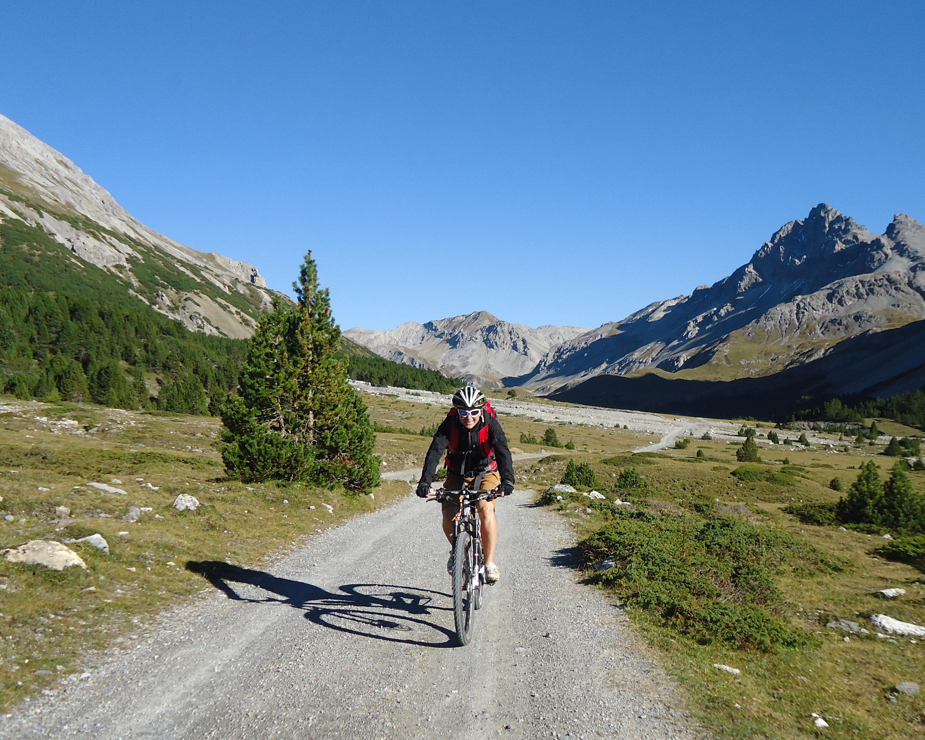
Mountain bike in Engadin Samnaun Val Müstair
Nationalpark Bike-Marathon, Stage 2/4
Local route No. 444, Stage 2: Tschierv – Livigno
Description
Local route
No. 444 (Scuol – Scuol)
Length
40 km
Ascent • Descent
↑ 1150 m • ↓ 1050 m
Lowest point • Highest point
1550 m • 2291 m
Grade
medium
Fitness level
medium
Local route No. 444:
Nationalpark Bike-Marathon
Stages
1. Scuol – Tschierv
2. Tschierv – Livigno
3. Livigno – S-chanf
4. S-chanf – Scuol
From the sunny Val Müstair you reach the Lago di S. Giacomo di Fraéle and the Alpisella via the Val Mora. From there the route plunges down to the Lago di Livigno and finally Livigno, the end of this stage.
Booking Information
E-mail:
info@engadin.com
Comments on this information?
We welcome your feedback!
Presented by
Route
Height profile
Weather:
More...
Tourismus Engadin Scuol Samnaun Val Müstair
Stradun, 7550 Scuol
Tourismus Engadin Scuol Samnaun Val Müstair
Stradun, 7550 Scuol
081 861 88 00
Comments about this activity or place?
Incorrect information
Missing information
Another topic
Thank you for your feedback!
Close