DE
FR
IT
EN
Directory
Weather
Map / Route
Timetable
Leisure
TV guide
Cinema
Snow
Web search
Apps
More
Personal Data »
Login:
Register
Password forgotten
or
Log in with local.ch
Log in with Apple
Log in with Facebook
Log in with Google
Log in with LinkedIn
Please note that our new
privacy statement
as well as the revised
terms and conditions of use
apply.
Leisure
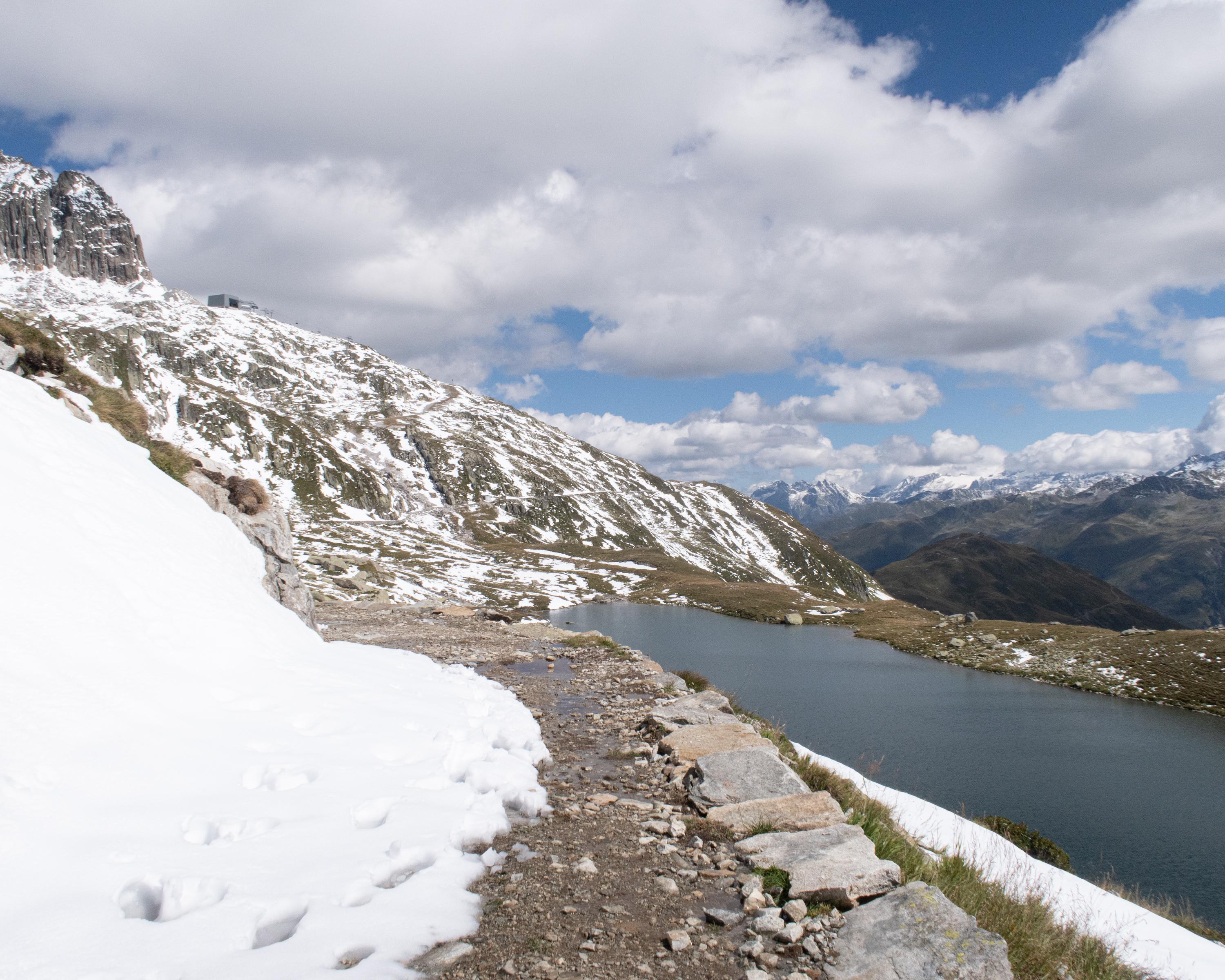
Hike in Lucerne – Lake Lucerne
Senda Sursilvana
Regional route No. 85, Oberalppass – Chur
Description
Regional route
No. 85 (Oberalppass – Chur)
Length
105 km
Ascent • Descent
↑ 3300 m • ↓ 4800 m
Lowest point • Highest point
561 m • 2158 m
Grade
medium
Fitness level
difficult
Regional route No. 85: Senda Sursilvana
Stages
0. Laax – Chur
0. Oberalppass – Sedrun
0. Breil/Brigels – Laax
0. Sedrun – Sumvitg
0. Sumvitg – Breil/Brigels
The Senda Sursilvana affords an insight into a whole region, one which holds many natural and cultural treasures. A high-level hike with several detours to the banks of the young Rhine.
Comments on this information?
We welcome your feedback!
Presented by
Route
Height profile
Weather:
More...
Comments about this activity or place?
Incorrect information
Missing information
Another topic
Thank you for your feedback!
Close