search.ch

Senda dils senns Val Platta

Local route No. 667, Stage 7: Curaglia – Curaglia
  • Image 1

Description

Local route
No. 667
Length
6 km
Ascent • Descent
↑ 440 m • ↓ 440 m
Lowest point • Highest point
1331 m • 1689 m
Hiking time
2 h 15 min
Grade
medium
Fitness level
medium
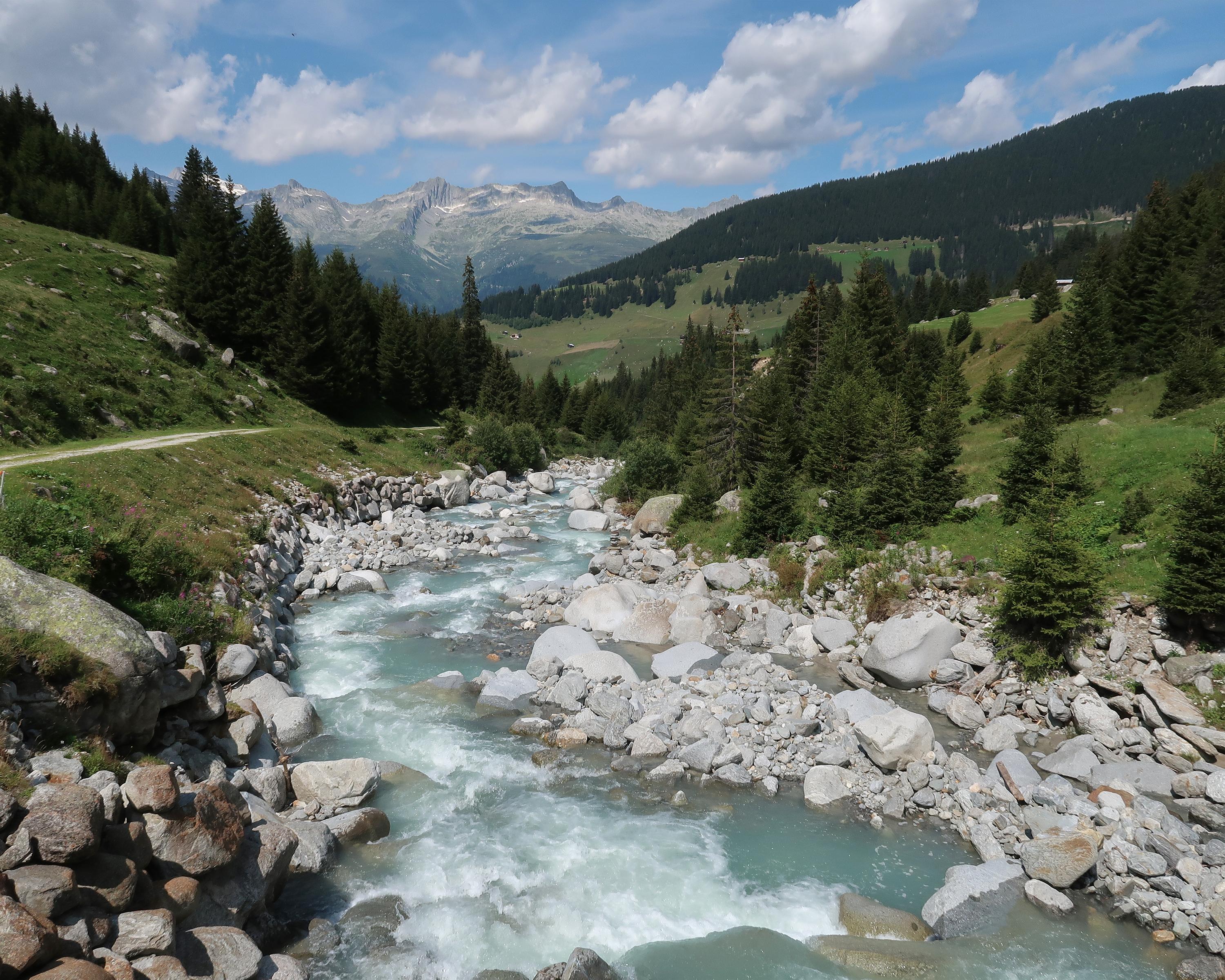
The loop trail leads from Curaglia into the Val Plattas. Surrounded by an almost untouched natural and cultural landscape, you hike through forests, over alpine meadows and past picturesque mountain settlements. Along the route you will find instructions on how to use your senses consciously to experience nature in a holistic way.

Booking Information

Height profile

Weather:

Comments about this activity or place?

Thank you for your feedback!