search.ch

Züri Oberland-Höhenweg

Regional route No. 69, Winterthur–Rapperswil
  • Image 1

Description

Regional route
No. 69 (Winterthur–Rapperswil)
Length
76 km
Ascent • Descent
↑ 2900 m • ↓ 2900 m
Lowest point • Highest point
408 m • 1328 m
Grade
easy (hiking trail)
Fitness level
difficult
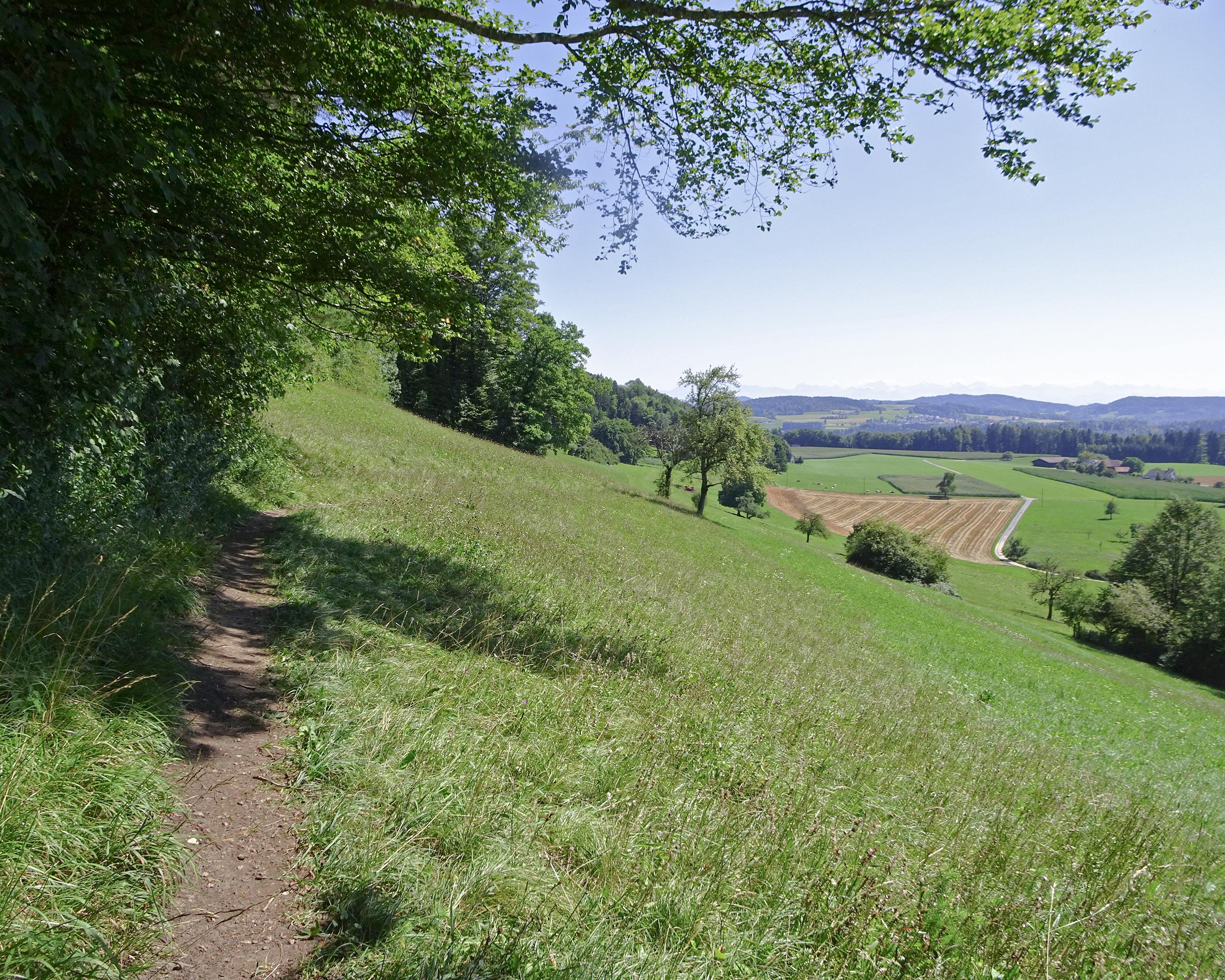
The trail leads from Winterthur through a beautiful pre-Alpine hiking area with rugged valleys, lakes and ridges with wonderful views, crowned by the highest point in Canton Zurich, the Schnebelhorn, and on to Obersee at Rapperswil with its attractive old town.

Height profile

Weather:

Comments about this activity or place?

Thank you for your feedback!