search.ch

Appenzeller Alpenweg

Local route No. 980, Urnäsch–Schwägalp
  • Image 1

Description

Local route
No. 980 (Urnäsch–Schwägalp)
Length
16 km
Ascent • Descent
↑ 1100 m • ↓ 600 m
Lowest point • Highest point
819 m • 1526 m
Hiking time
5 h 20 min
Grade
medium (mountain hiking trail)
Fitness level
difficult
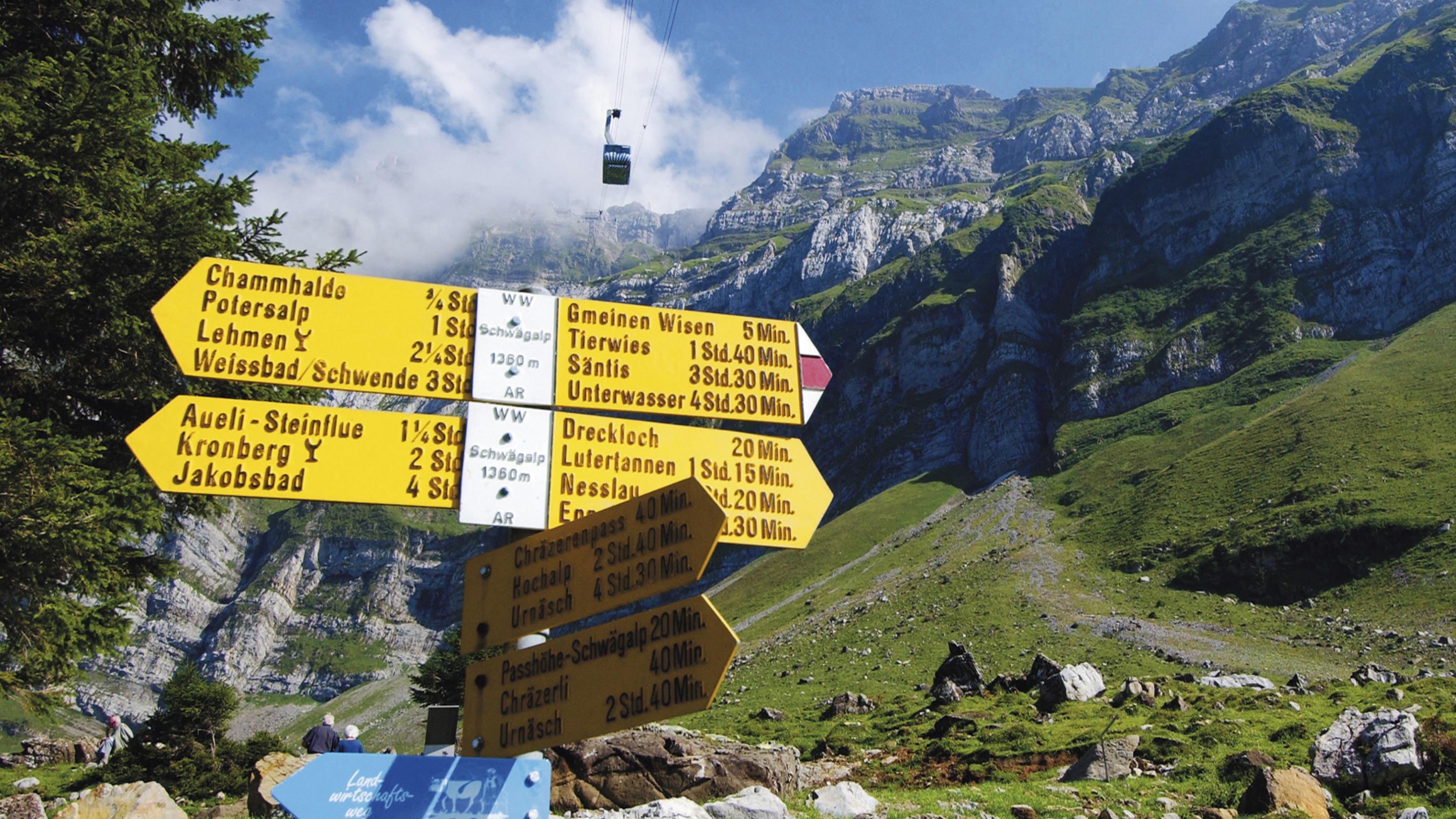
This trail takes you to the alpine foothill landscape of Appenzellerland, from Urnäsch to Alpweiden at the foot of Säntis and Schwägalp. From the Hochalp to the Schwägalp you will walk through the Schwägalp natural park, a protected natural site with a very special appeal.

Booking Information

Height profile

Weather:

Appenzellerland Tourismus

Comments about this activity or place?

Thank you for your feedback!