DE
FR
IT
EN
Directory
Weather
Map / Route
Timetable
Leisure
TV guide
Cinema
Web search
Apps
More
Personal Data »
Login:
Register
Password forgotten
or
Log in with local.ch
Log in with Apple
Log in with Facebook
Log in with Google
Log in with LinkedIn
Please note that our new
privacy statement
as well as the revised
terms and conditions of use
apply.
Leisure
Hike
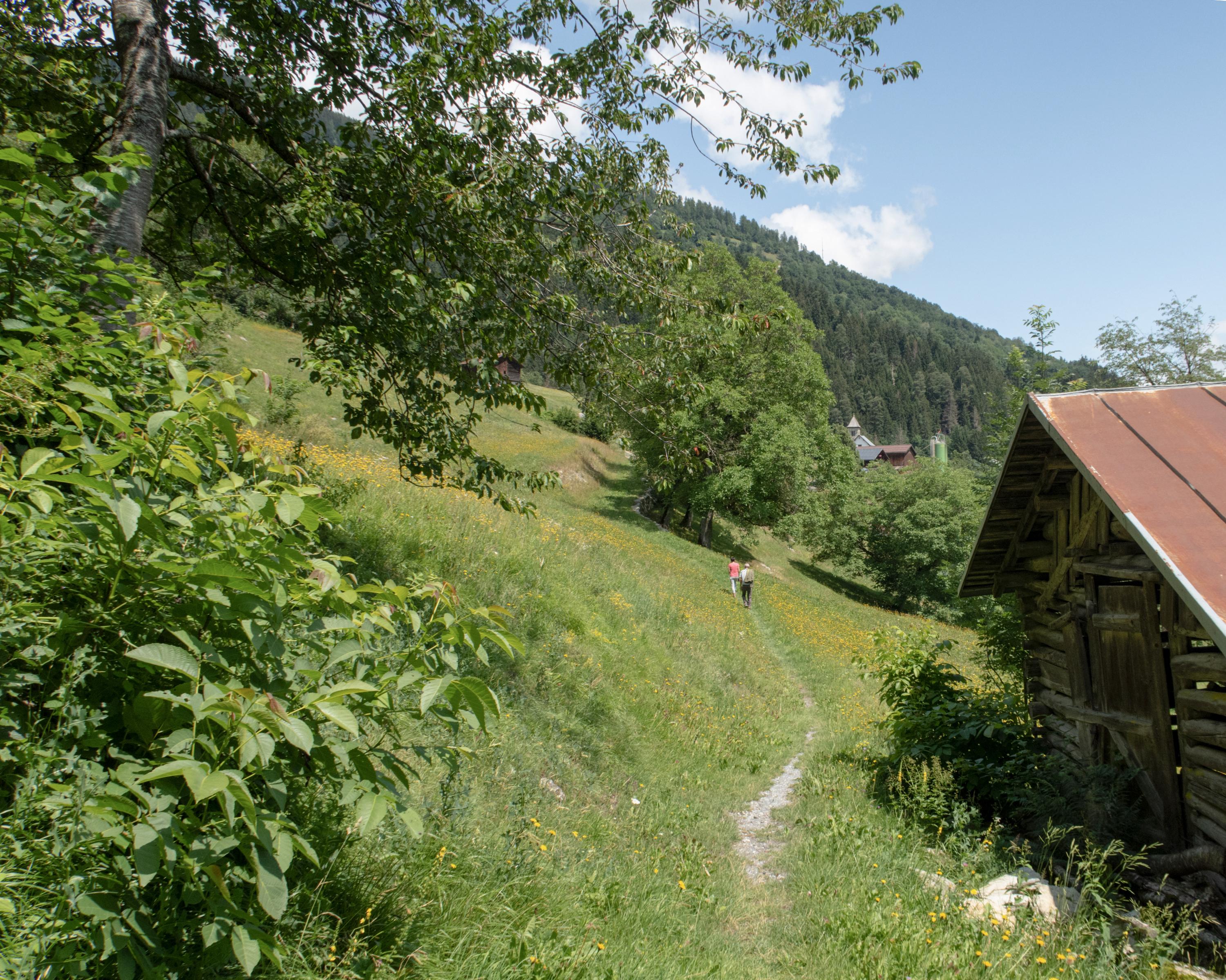
ViaSuworow
Regional route No. 55, Pigniu–Ilanz
Description
Regional route
No. 55 (Pigniu–Ilanz)
Length
12 km
Ascent • Descent
↑ 380 m • ↓ 950 m
Lowest point • Highest point
692 m • 1514 m
Hiking time
3 h 35 min
Grade
medium (mountain hiking trail)
Fitness level
difficult
Several attractive churches and chapels line the route from Pigniu down into the valley of the Vorderrhein. The ViaSuworow ends at Ilanz, the first town on the Rhine, which the weakened Russian troops reached on 7 October 1799.
Comments on this information?
We welcome your feedback!
Presented by
Route
Height profile
Weather:
More...
Comments about this activity or place?
Incorrect information
Missing information
Another topic
Thank you for your feedback!
Close