DE
FR
IT
EN
Telefonbuch
Wetter
Karte / Route
Fahrplan
Freizeit
TV
Kino
Websuche
Apps
Mehr
Persönliche Informationen »
Anmelden:
Registrieren
Passwort vergessen
oder
Anmelden mit local.ch
Anmelden mit Apple
Anmelden mit Facebook
Anmelden mit Google
Anmelden mit LinkedIn
Bitte beachten Sie, dass unsere neue
Datenschutzerklärung
sowie die angepassten
Nutzungsbedingungen
gelten.
Freizeit
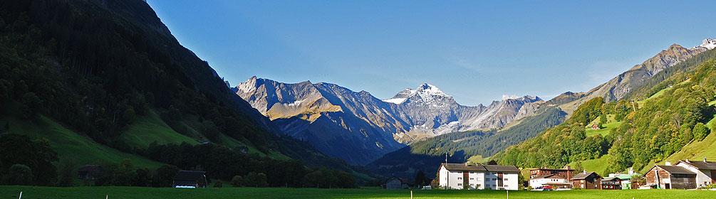
Wanderung in Ilanz
ViaSuworow
Regionale Route Nr. 55, Pigniu–Ilanz
Beschreibung
Regionale Route
Nr. 55 (Pigniu–Ilanz)
Länge
12 km
Aufstieg • Abstieg
↑ 380 m • ↓ 950 m
Tiefster Punkt • Höchster Punkt
692 m • 1514 m
Wanderzeit
3 h 35 min
Technik
mittel (Bergwanderweg)
Kondition
schwer
Am Weg von Pigniu in die Talebene des Vorderrheins stehen mehreren schmucken Kirchen und Kapellen. In der ersten Stadt am Rhein, Ilanz, wo die geschwächten russischen Truppen am 7. Oktober 1799 eintrafen, endet die ViaSuworow.
Anmerkungen zu diesen Informationen?
Wir freuen uns über Ihr Feedback!
Präsentiert von
Route
Höhenprofil
Wetter:
Mehr...
Anmerkungen zu dieser Aktivität oder diesem Ort?
Falsche Angaben
Fehlende Informationen
Anderes Thema
Vielen Dank für dein Feedback!
Schliessen