DE
FR
IT
EN
Directory
Weather
Map / Route
Timetable
Leisure
TV guide
Cinema
Web search
Apps
More
Personal Data »
Login:
Register
Password forgotten
or
Log in with local.ch
Log in with Apple
Log in with Facebook
Log in with Google
Log in with LinkedIn
Please note that our new
privacy statement
as well as the revised
terms and conditions of use
apply.
Leisure
Hike in Eastern Switzerland / Liechtenstein
Thurweg
Regional route No. 24, Wildhaus, Gamplüt – Rüdlingen
Description
Regional route
No. 24 (Wildhaus, Gamplüt – Rüdlingen)
Length
160 km
Ascent • Descent
↑ 1900 m • ↓ 2900 m
Lowest point • Highest point
344 m • 1353 m
Grade
medium
Fitness level
difficult
Regional route No. 24: Thurweg
Stages
1. Wildhaus, Gamplüt – Nesslau
2. Nesslau – Wattwil
3. Wattwil – Schwarzenbach SG
4. Schwarzenbach SG – Bischofszell
5. Bischofszell – Weinfelden
6. Weinfelden – Frauenfeld
7. Frauenfeld – Andelfingen
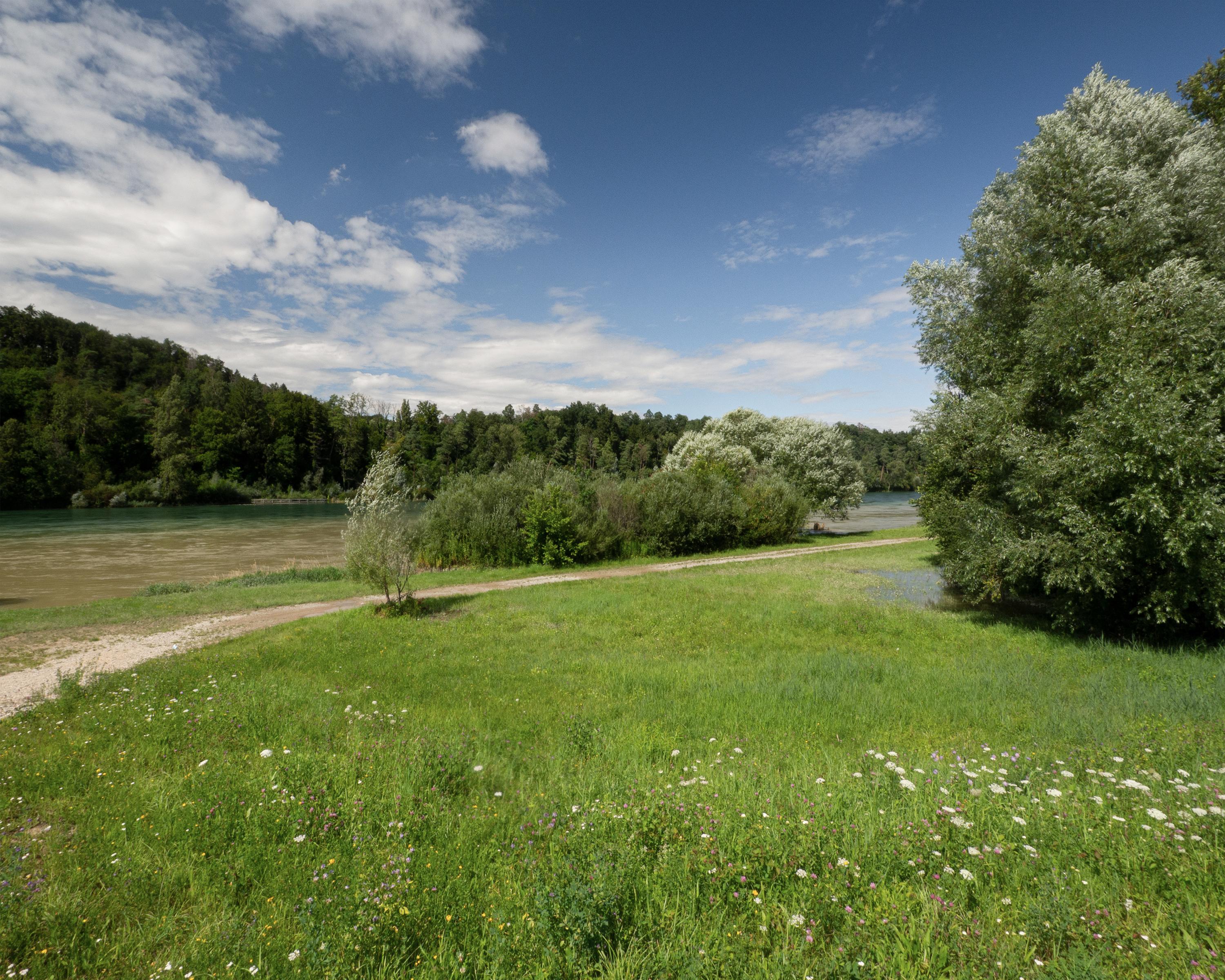
8. Andelfingen – Rüdlingen
The route follows the Thur to its source on Mount Säntis, through the varied Toggenburg landscape, to the plains of the Thur Valley and the Zurich wine-growing region, where the Thur flows into the Rhine.
Comments on this information?
We welcome your feedback!
Presented by
Route
Height profile
Weather:
More...
Comments about this activity or place?
Incorrect information
Missing information
Another topic
Thank you for your feedback!
Close