search.ch

ViaFrancigena, Stage 8/10

Regional route No. 70, Stage 8: Martigny – Orsières
  • Image 1

Description

Regional route
No. 70 ((Canterbury)–Ballaigues – Col du Gd St-Bernard–(Rom))
Length
20 km
Ascent • Descent
↑ 900 m • ↓ 500 m
Lowest point • Highest point
471 m • 950 m
Hiking time
6 h
Grade
easy
Fitness level
difficult
Regional route No. 70: ViaFrancigena
Stages
0. Bourg-St-Pierre – Col du Gd St-Bernard
0. Lausanne – Vevey
0. Orsières – Bourg-St-Pierre
0. Martigny – Orsières
0. Aigle – St-Maurice
0. St-Maurice – Martigny
0. Cossonay – Lausanne
0. Orbe – Cossonay
0. Ballaigues – Orbe
0. Vevey – Aigle
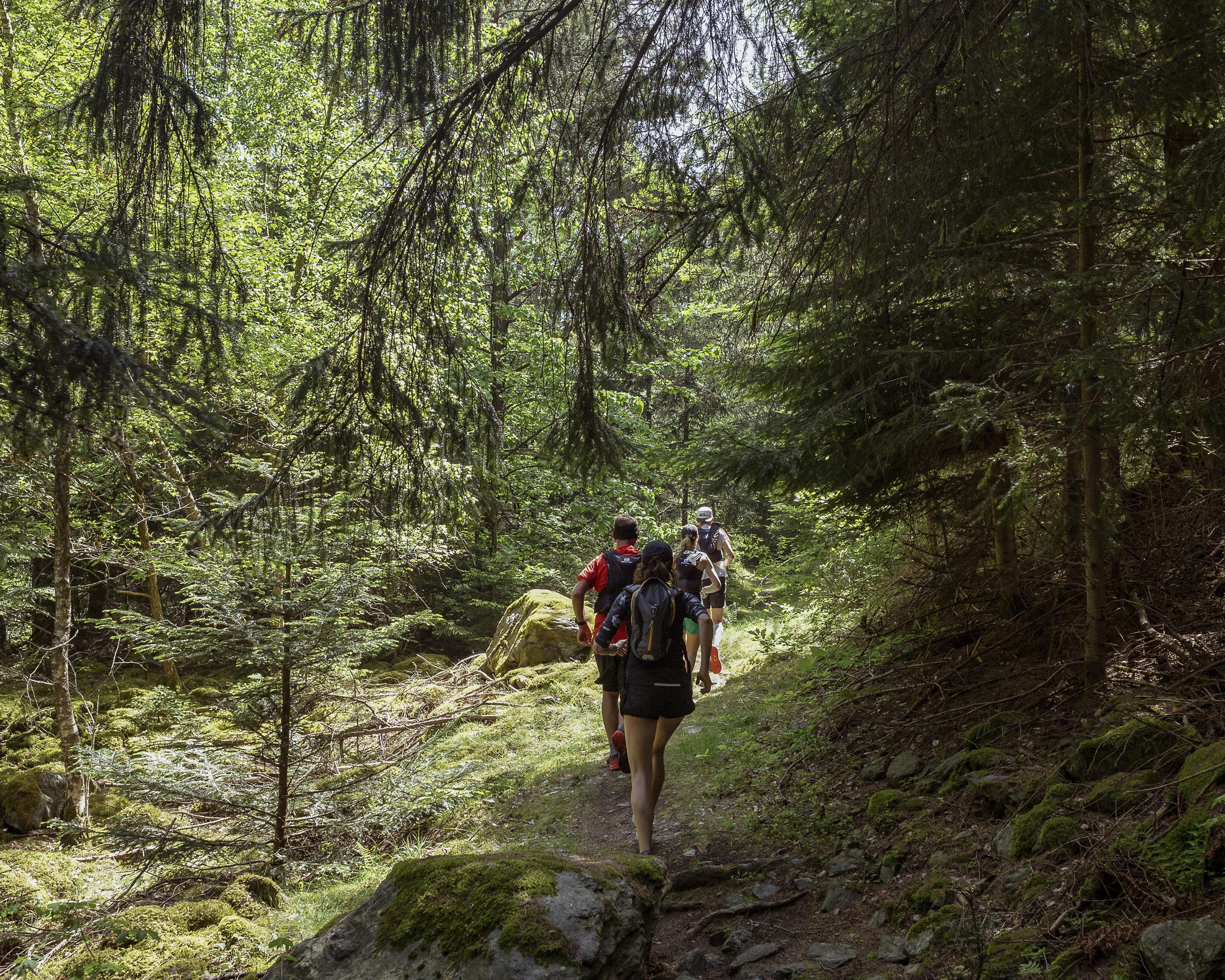
This stage marks the beginning of the ascent to the Great St. Bernard Pass. From Martigny, a path that is steep in parts leads across the narrow Les Trappistes Pass to the medieval village of Sembrancher. From there, the route follows the Napoleon Trail.

Height profile

Weather:

Comments about this activity or place?

Thank you for your feedback!