DE
FR
IT
EN
Directory
Weather
Map / Route
Timetable
Leisure
TV guide
Cinema
Web search
Apps
More
Personal Data »
Login:
Register
Password forgotten
or
Log in with local.ch
Log in with Apple
Log in with Facebook
Log in with Google
Log in with LinkedIn
Please note that our new
privacy statement
as well as the revised
terms and conditions of use
apply.
Leisure
Biking
Emmental–Entlebuch
Regional route No. 24, Biel/Bienne–Luzern
Description
Regional route
No. 24 (Biel/Bienne–Luzern)
Length
125 km
Ascent • Descent
↑ 1200 m • ↓ 1200 m
Lowest point • Highest point
427 m • 857 m
Fitness level
medium
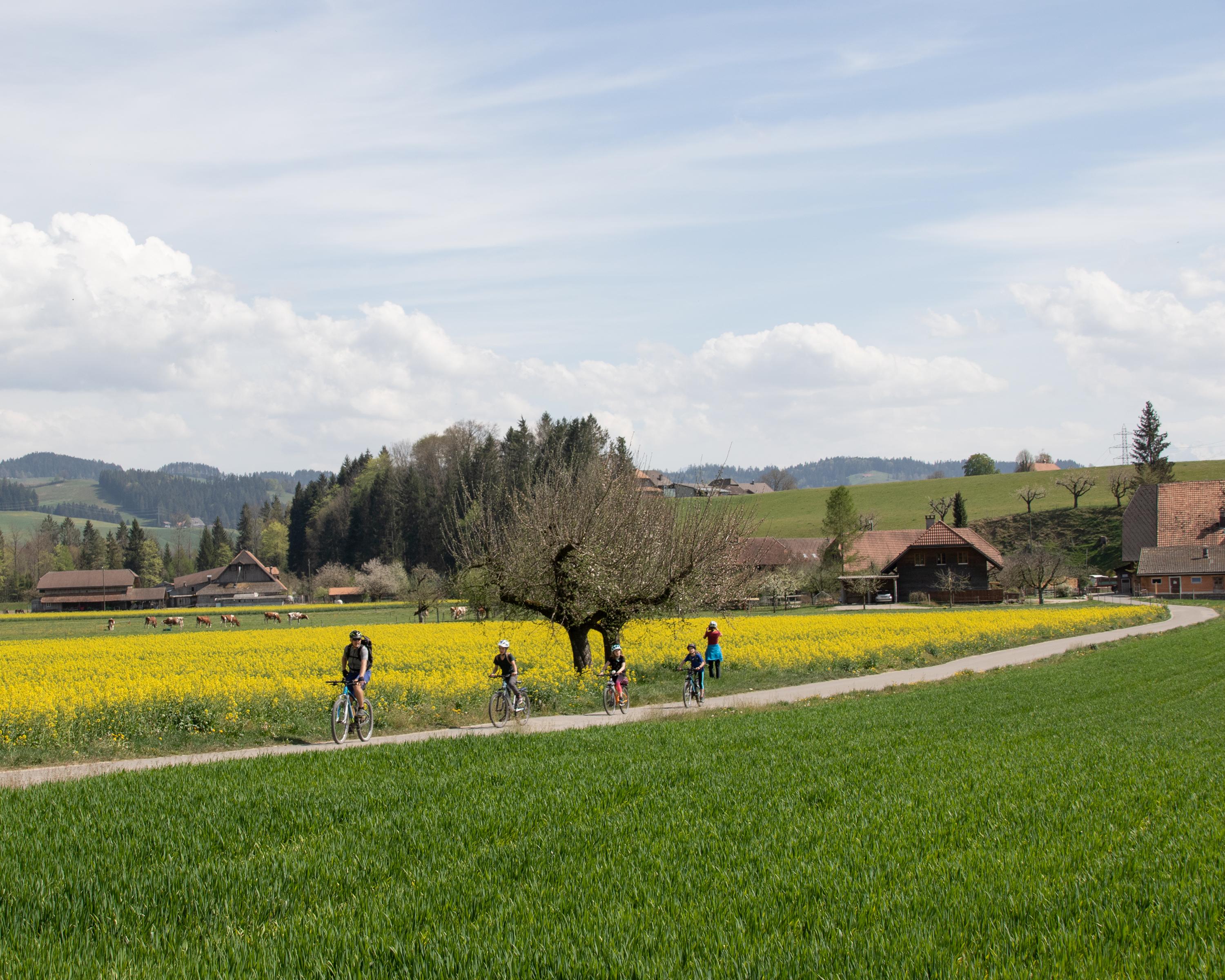
From Seeland through fields and forests to Burgdorf, gateway to the Emmental. On through riverside woodlands , passing farmhouses to the Emmental’s main town of Langnau. Through green Entlebuch and a bird-filled water landscape to Luzern.
Comments on this information?
We welcome your feedback!
Presented by
Route
Height profile
Weather:
More...
Comments about this activity or place?
Incorrect information
Missing information
Another topic
Thank you for your feedback!
Close