search.ch

Walserweg Gottardo, Stage 14/14

Regional route No. 62, Stage 14: Sumvitg, Val – Obersaxen, St. Martin
  • Image 1

Description

Regional route
No. 62 (Binn – Obersaxen, St. Martin)
Length
16 km
Ascent • Descent
↑ 1150 m • ↓ 1000 m
Lowest point • Highest point
905 m • 1644 m
Hiking time
6 h
Grade
medium
Fitness level
difficult
Regional route No. 62: Walserweg Gottardo
Stages
0. Binn – Crampiolo (I)
0. Crampiolo (I) – Salècchio (I)
0. Salècchio (I) – Lago Vanninio/Margaroli (I)
0. Lago Vanninio/Margaroli (I) – Ponte Formazza (I)
0. Ponte Formazza (I) – Bosco Gurin
0. Bosco Gurin – Bignasco
0. Bignasco – Robiei
0. Robiei – Bedretto
0. Bedretto – Passo San Gottardo
0. Passo San Gottardo – Andermatt
0. Andermatt – Oberalppass
0. Oberalppass – Curaglia
0. Curaglia – Sumvitg, Val
0. Sumvitg, Val – Obersaxen, St. Martin
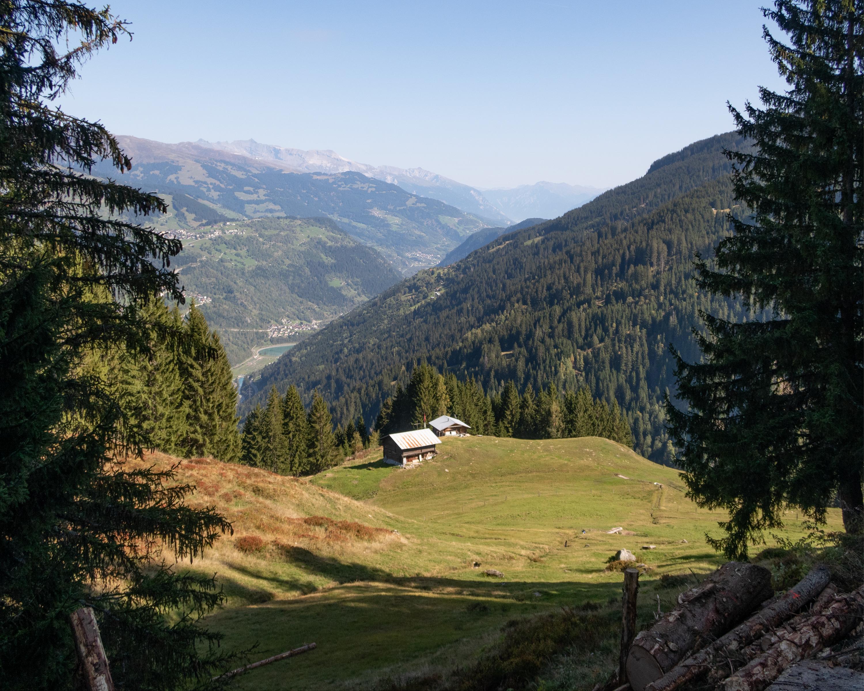
From the village of Val down to the bridge and across the Rein da Sumvitg. This is followed by a strenuous 700-metre elevation gain on steep, narrow paths up through the forest and over pastures and meadows. Up to the destination, there are still two torrent ditches to cross and a few opposing climbs to overcome. You have now completed it: the Walserweg Gottardo trail, which is around 200 kilometres long, ends in the Walser settlement of St. Martin.

Height profile

Weather:

Comments about this activity or place?

Thank you for your feedback!