search.ch

Jakobsweg Graubünden

Regional route No. 43, Langwies–Tschiertschen
  • Image 1

Description

Regional route
No. 43 (Langwies–Tschiertschen)
Length
12 km
Ascent • Descent
↑ 660 m • ↓ 700 m
Lowest point • Highest point
1038 m • 1428 m
Hiking time
4 h
Grade
medium (mountain hiking trail)
Fitness level
medium
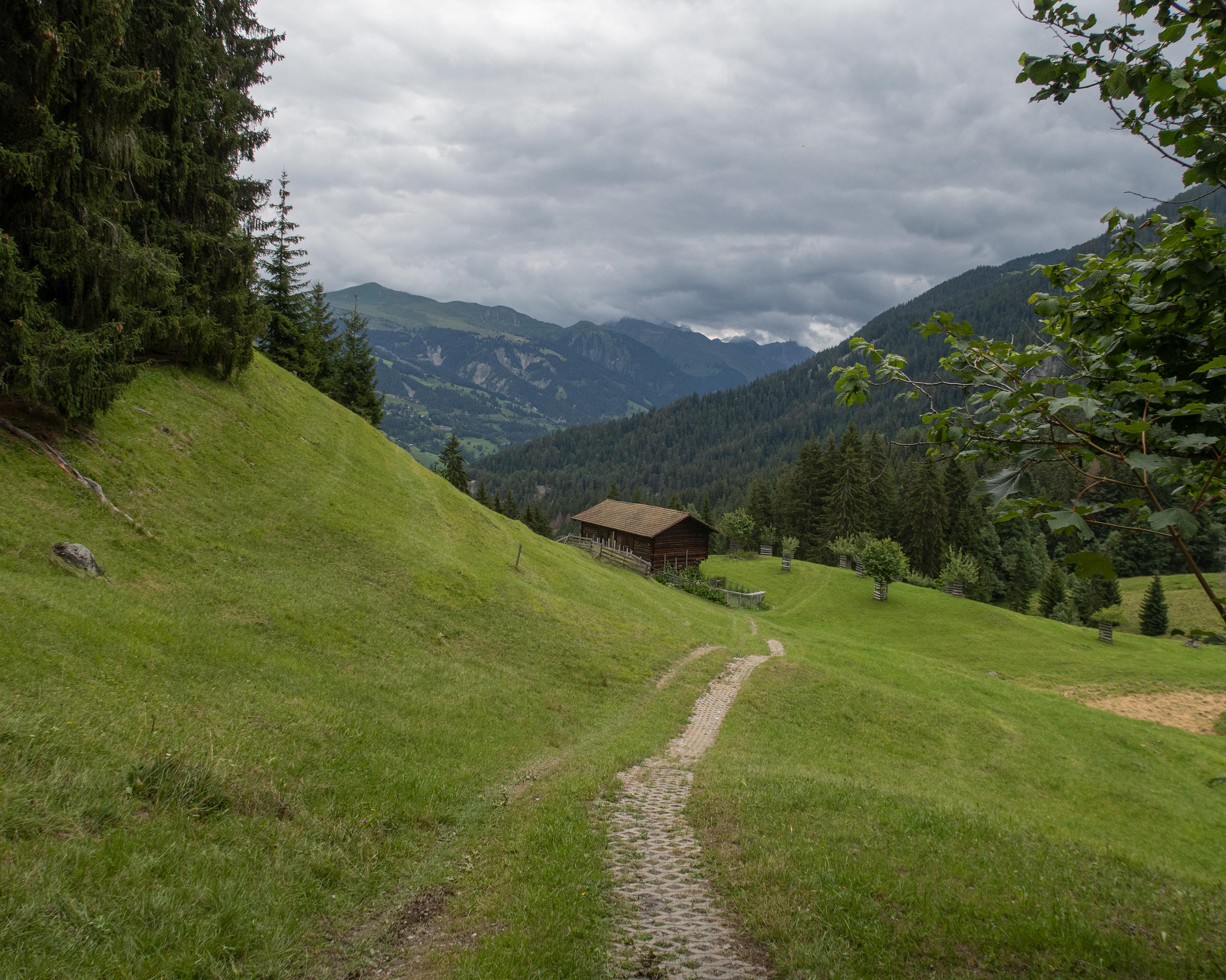
The hike through the wild Schanfigg mountain valley leads in constant ups and downs along the wooded northern slope of the Weisshorn. The deep valley that connects Chur with Arosa is a paradise for nature lovers with its sun terraces, alpine pastures and flower meadows.

Height profile

Weather:

Comments about this activity or place?

Thank you for your feedback!