DE
FR
IT
EN
Directory
Weather
Map / Route
Timetable
Leisure
TV guide
Cinema
Snow
Web search
Apps
More
Personal Data »
Login:
Register
Password forgotten
or
Log in with local.ch
Log in with Apple
Log in with Facebook
Log in with Google
Log in with LinkedIn
Please note that our new
privacy statement
as well as the revised
terms and conditions of use
apply.
Leisure
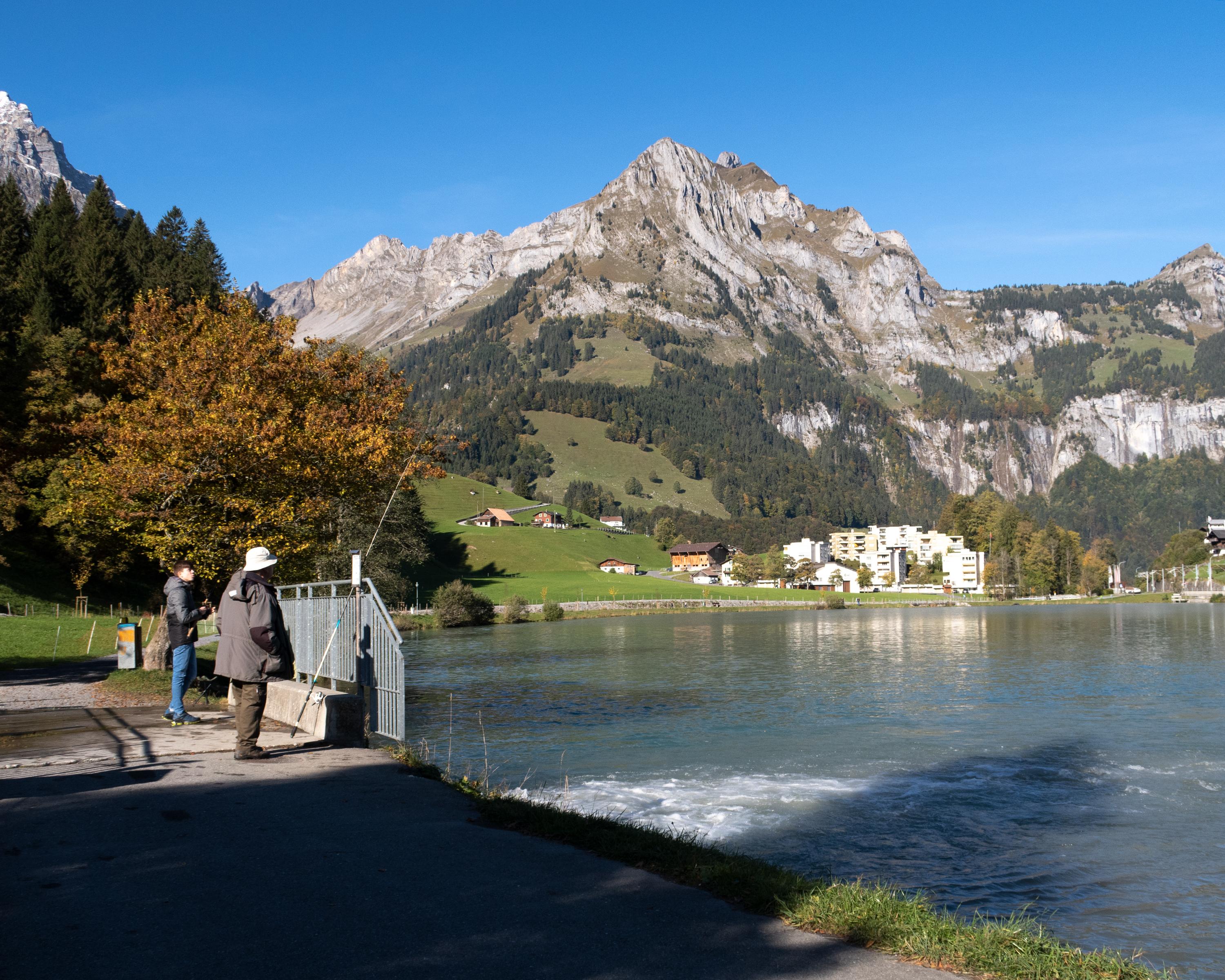
Hike in Lucerne – Lake Lucerne
ViaSbrinz, Stage 1/5
Regional route No. 40, Stage 1: Stansstad – Engelberg
Description
Regional route
No. 40 (Stansstad – Ponte (I))
Length
26 km
Ascent • Descent
↑ 700 m • ↓ 140 m
Lowest point • Highest point
434 m • 1003 m
Hiking time
7 h
Grade
easy
Fitness level
difficult
Regional route No. 40:
ViaSbrinz
Stages
0. Obergesteln – Ponte (I)
0. Engelberg – Engstlenalp
0. Engstlenalp – Guttannen
0. Guttannen – Obergesteln
0. Stansstad – Engelberg
Hike from the delightful shores of the Vierwaldstättersee up to the mountain valley of Engelberg. On the way, several cultural historic sites, such as the centre of Stans, the monastery retreat of Grafenort and Engelberg monastery.
Comments on this information?
We welcome your feedback!
Presented by
Route
Height profile
Weather:
More...
Comments about this activity or place?
Incorrect information
Missing information
Another topic
Thank you for your feedback!
Close