search.ch

Schwarzenbühl-Panoramatrail

Local route No. 112, Stage 2: Riffenmatt, Schwarzenbühl – Riffenmatt, Schwarzenbühl
  • Image 1

Description

Local route
No. 112
Length
4 km
Ascent • Descent
↑ 280 m • ↓ 280 m
Lowest point • Highest point
1492 m • 1665 m
Hiking time
2 h 20 min
Fitness level
medium
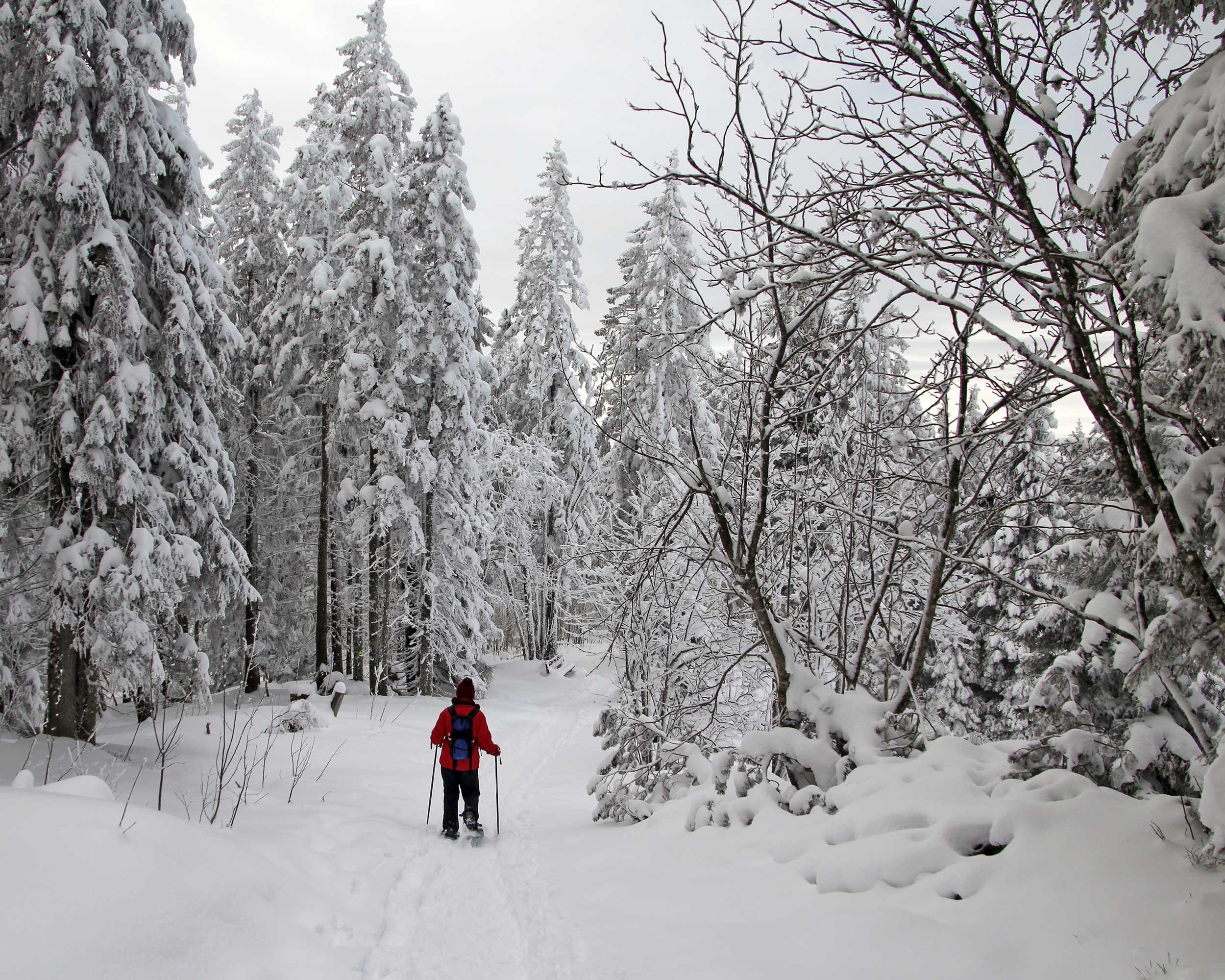
The Gantrisch Range, the memorable panorama of Nature Park Gantrisch’s highest range of mountains, also leaves a lasting impression during the winter months. The trail through the bright pine forest beautiful views of the Bernese and Freiburg foothills of the Alps.

Booking Information

Height profile

Weather:

Comments about this activity or place?

Thank you for your feedback!